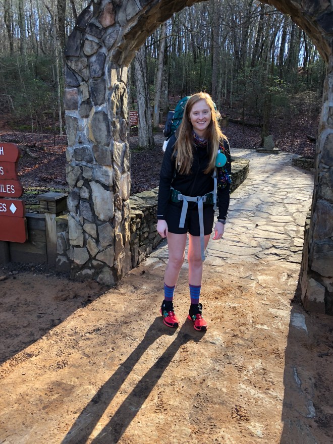
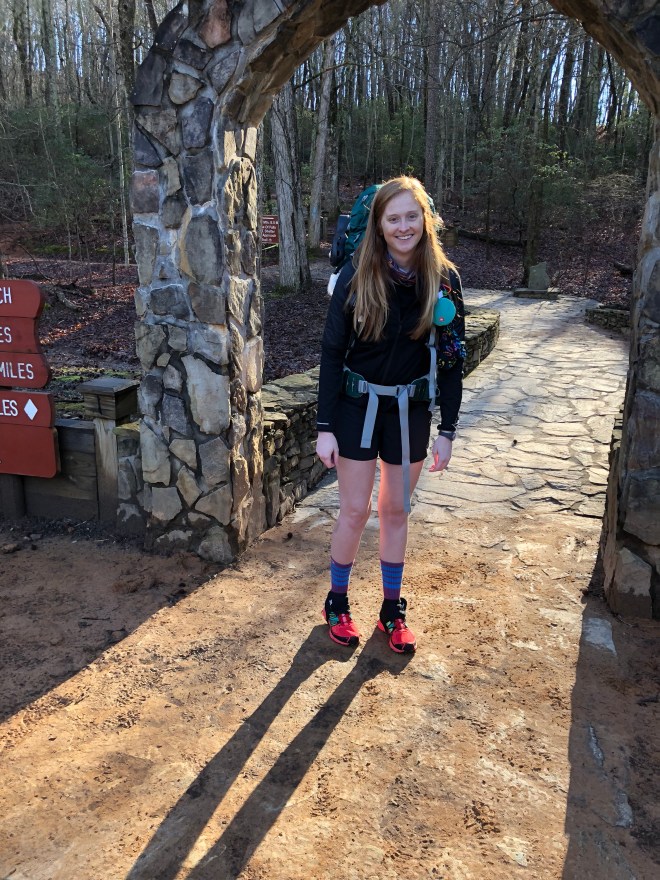
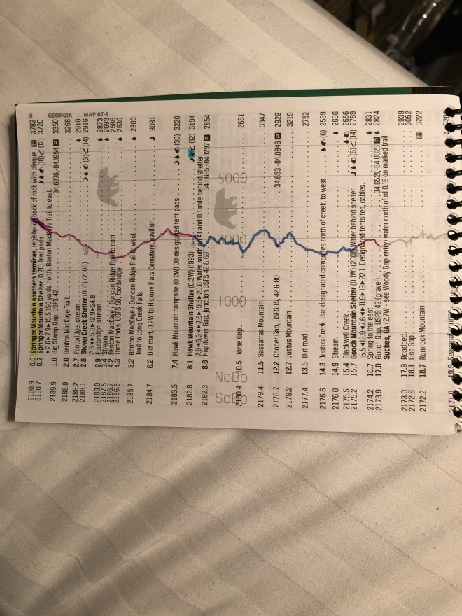
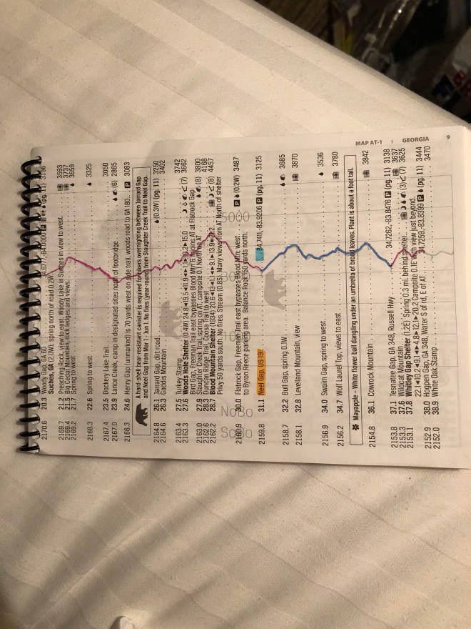
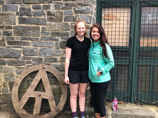
Day 10 went from Woody Gap to Neel Gap – 10.8 miles!
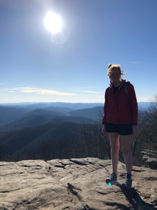
Wow, I am so proud of myself! First double digits in the books. On one of the hardest sections on the AT, Blood Mtn!
Whenever we went from Gooch to Neel, we decided to skip that section to keep progressing NOBO. However, after my Nero and 2 Zero’s, this was the first clear day we were going to have, and I knew I had one chance to do Blood Mtn right!
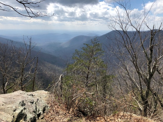
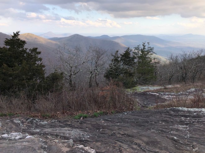
It was incredible! I am so happy I decided to wait until a perfect day to go to Blood Mtn. The views were impeccable!
I would definitely recommend this section to anyone who is looking to have views all day and who doesn’t mind the strenuous nature of the trail in this area.
Okay, I am going to try to do my best to give you a play by play of everything.
About 11 am, Sally was dropping me off at Woody Gap. By about 11:15 am, I was on the trail.
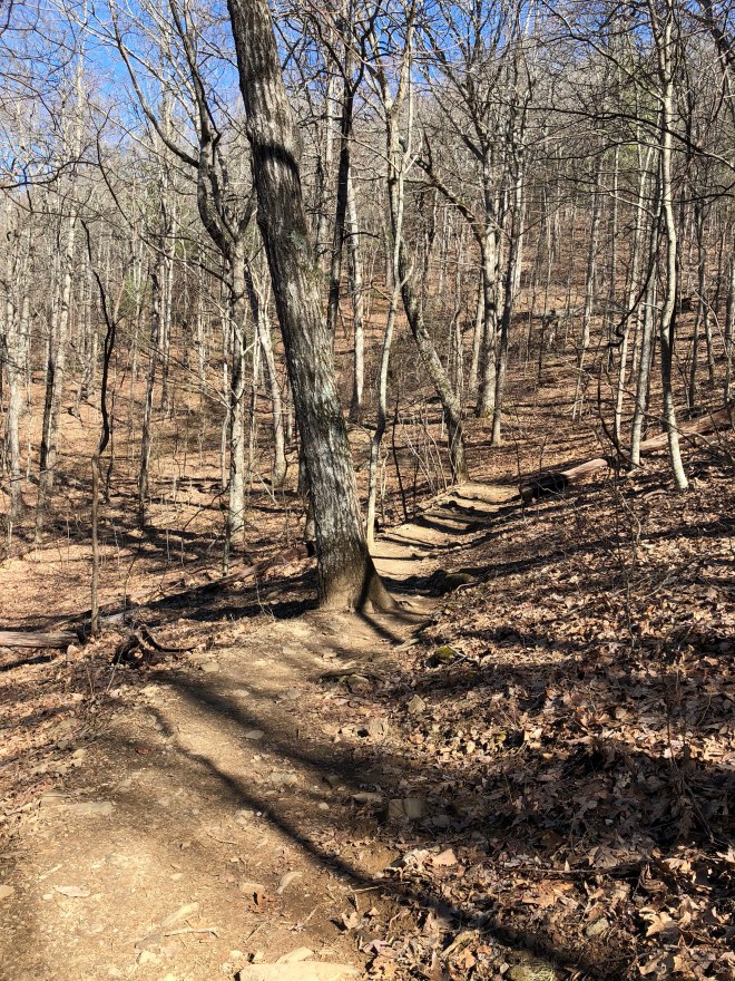
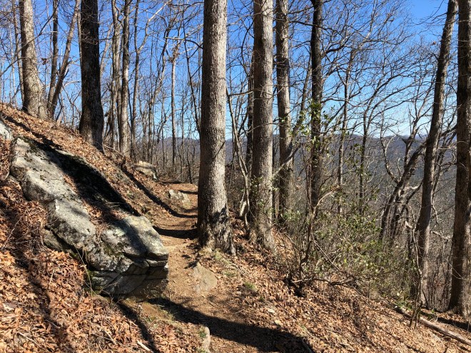
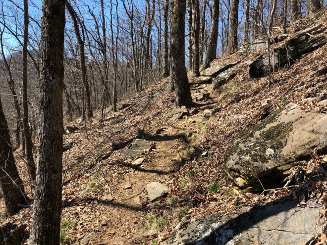
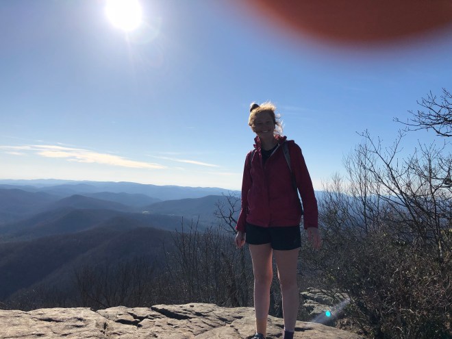
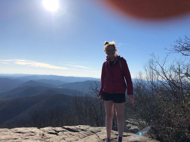
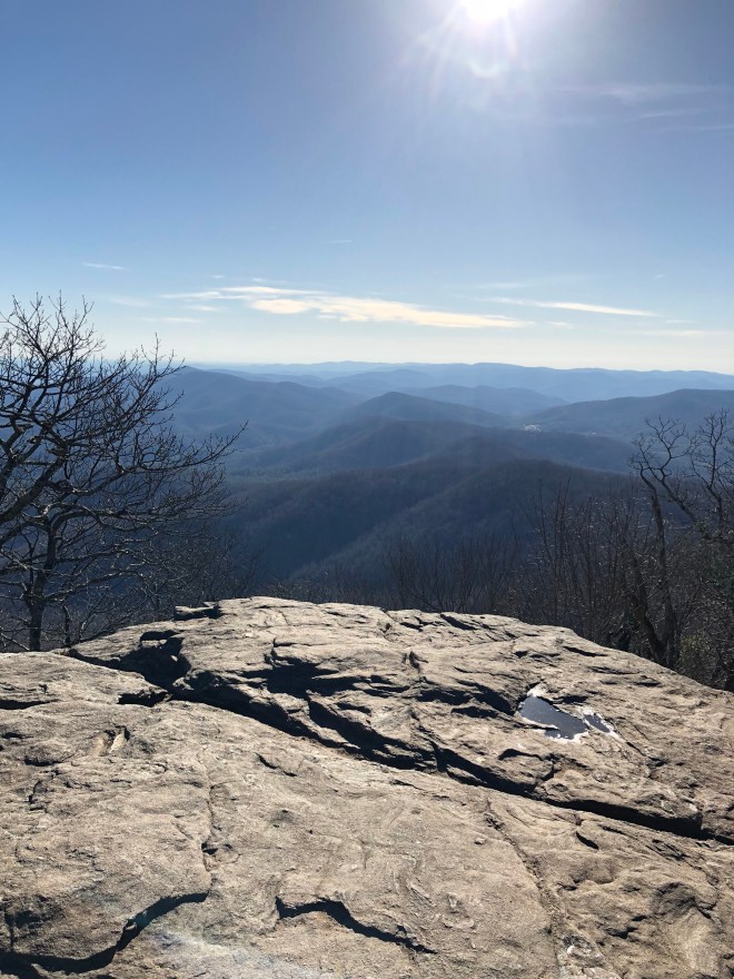
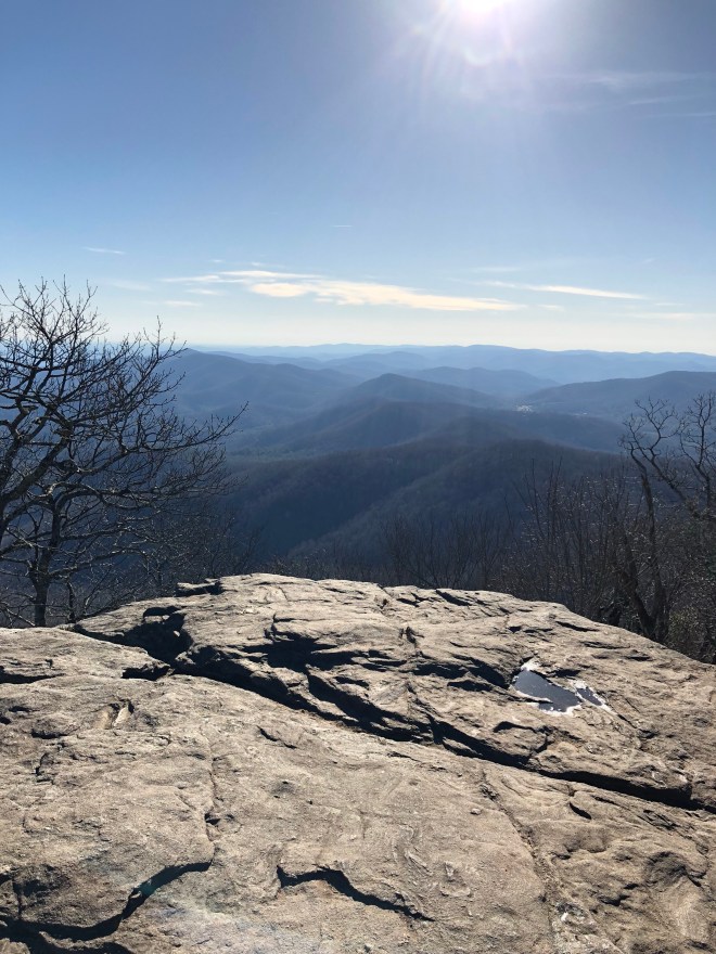
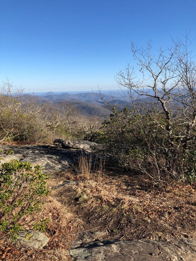
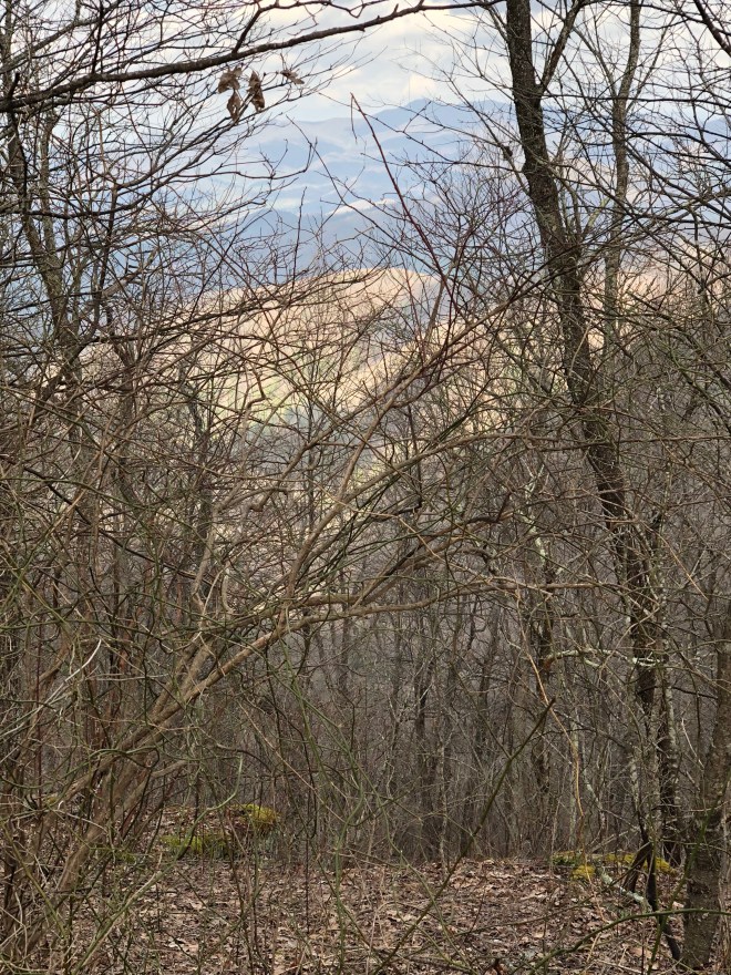
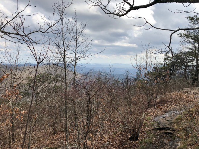
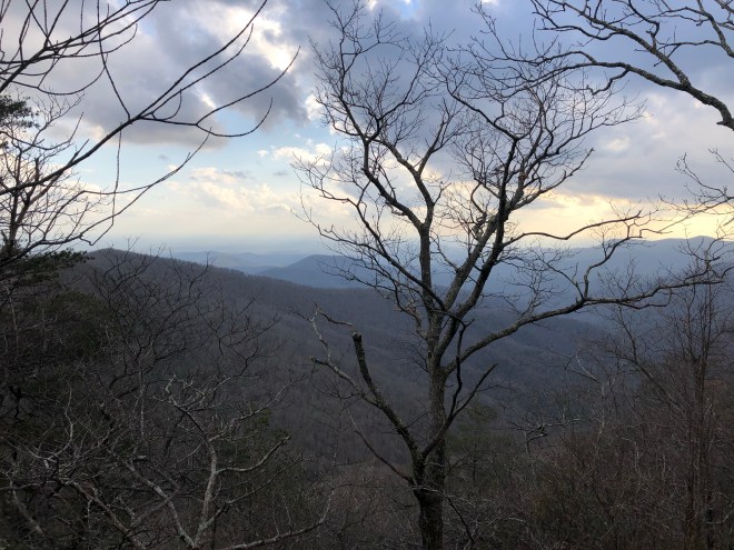
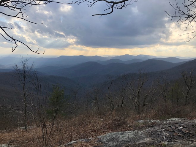
About 1 mile in, you come to Preaching Rock.
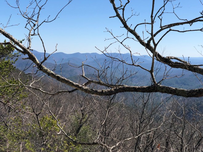
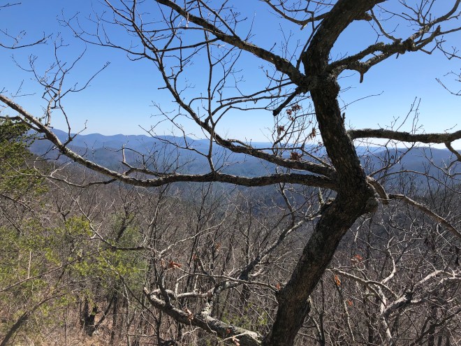
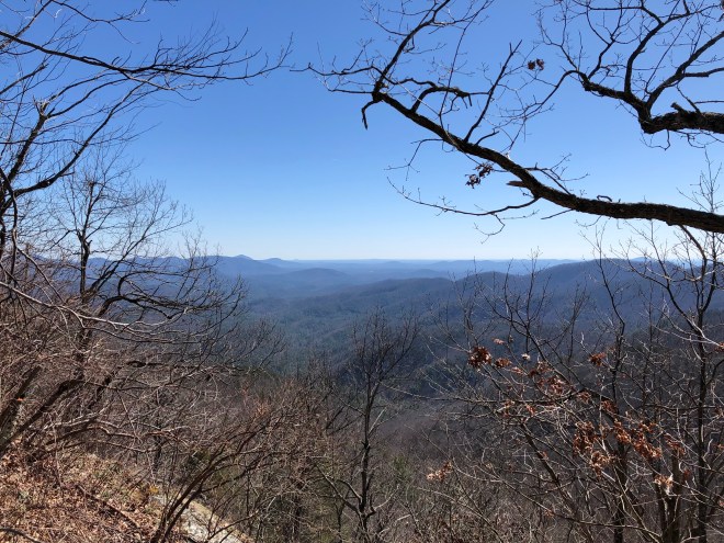

Only .3 mile later, I got some great views from Big Cedar Mountain.


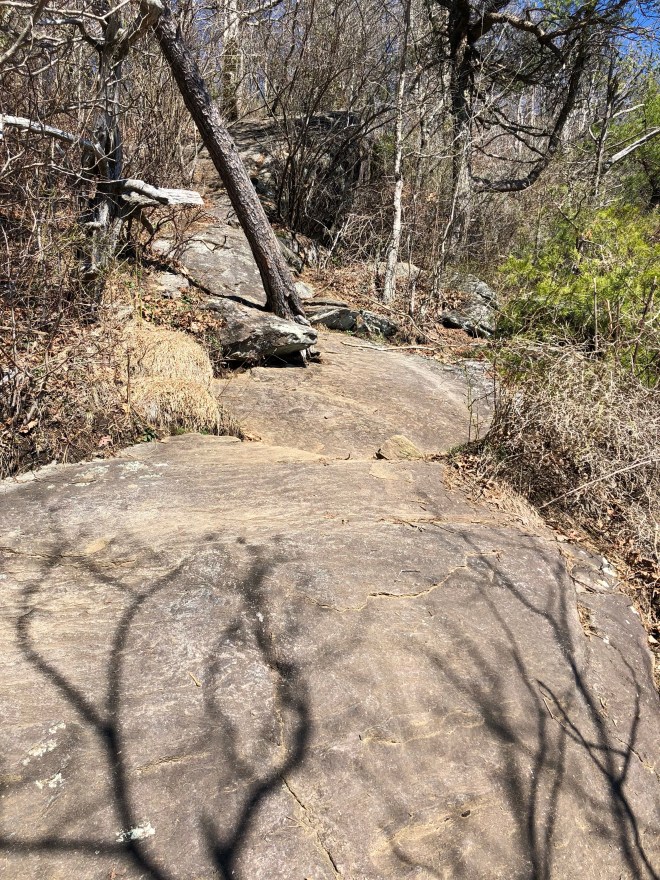
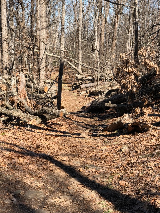
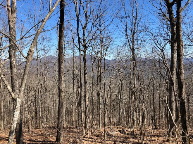
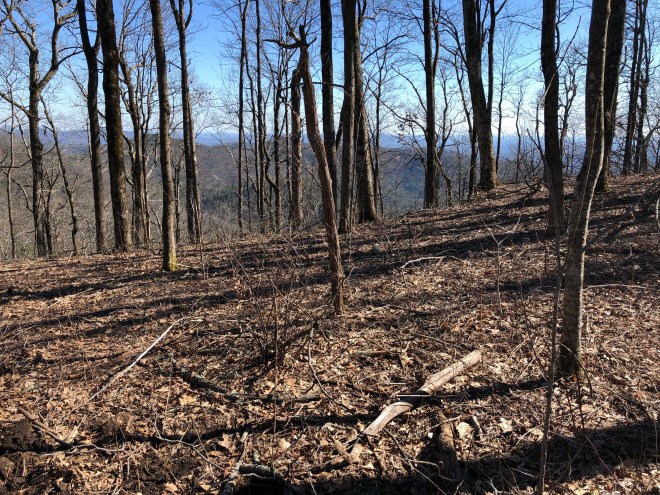
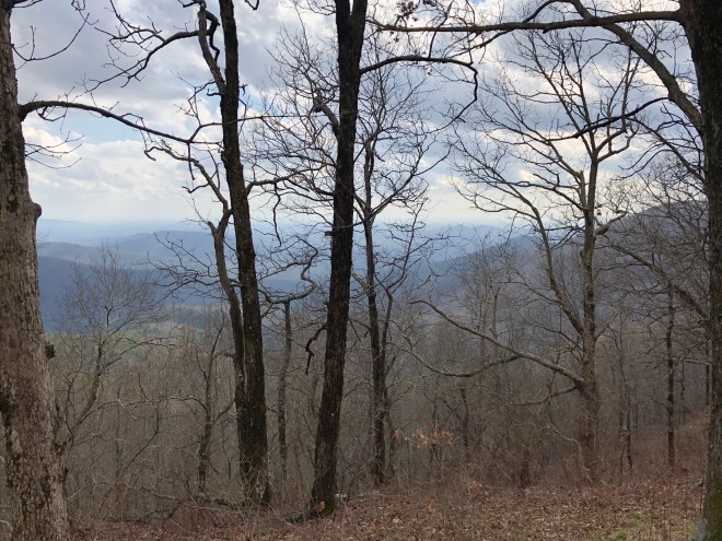
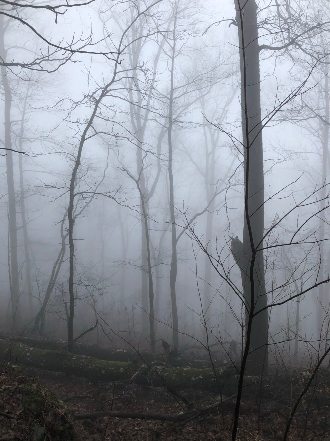
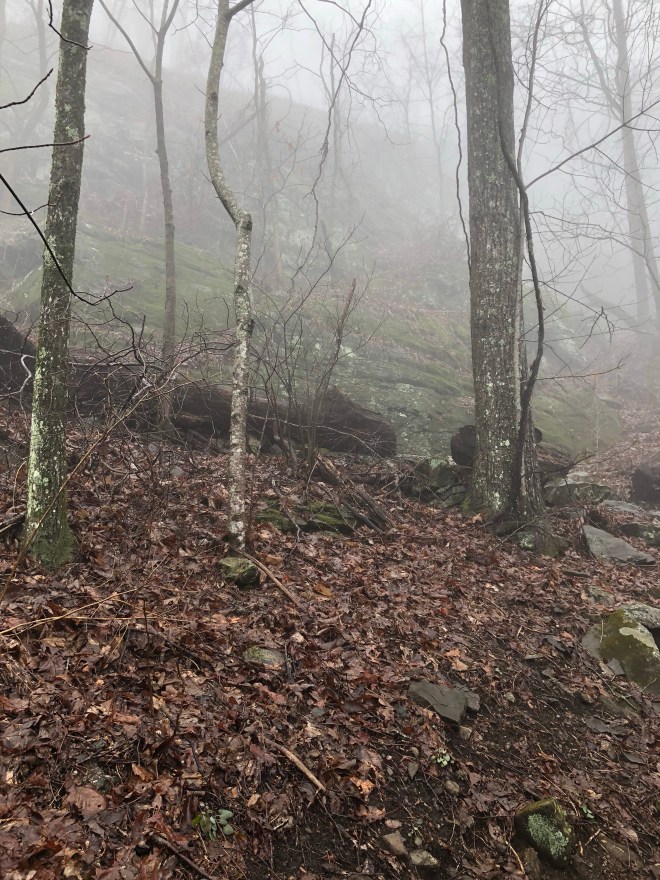
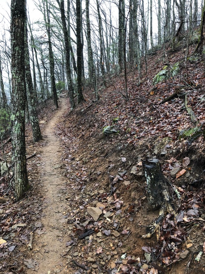
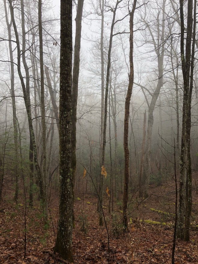
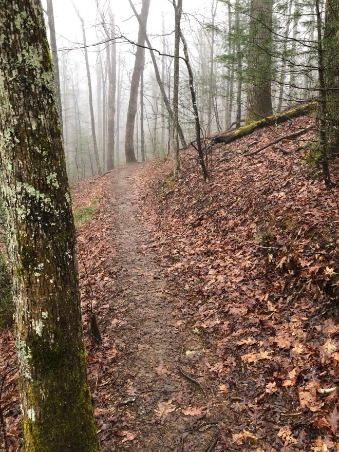
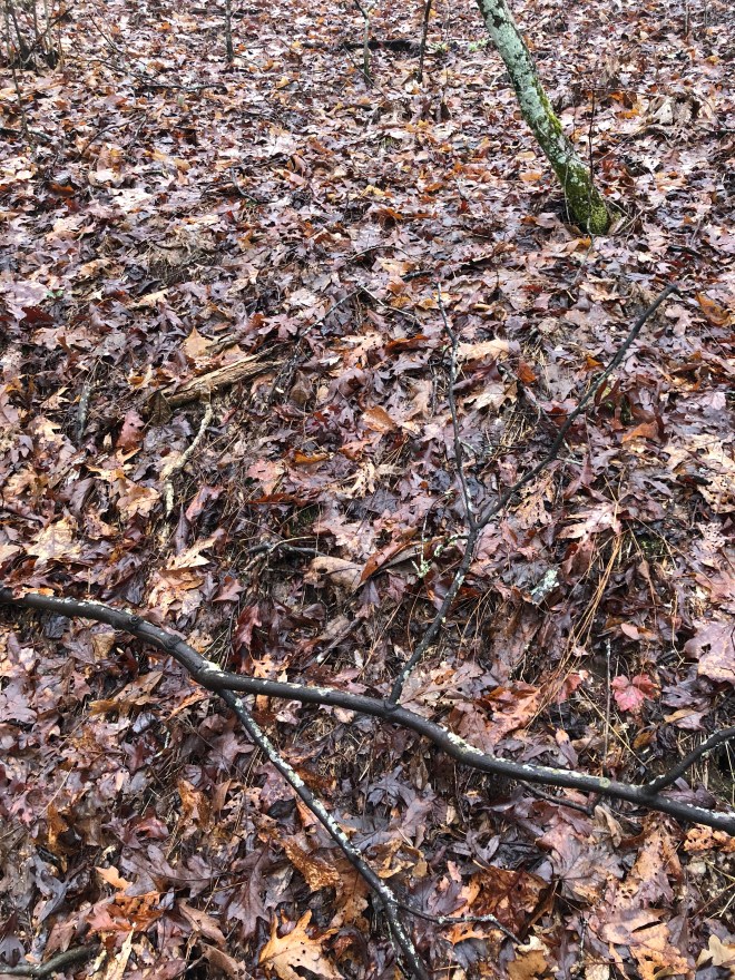
After hitting those huge views, I had about 5 or 6 miles of hiking in the woods. I kept hearing everyone say that there are down trees from Irma, and well, I found them! They were just all over the place, massive! Shout out to our trail maintainers because I know this was a lot of work!

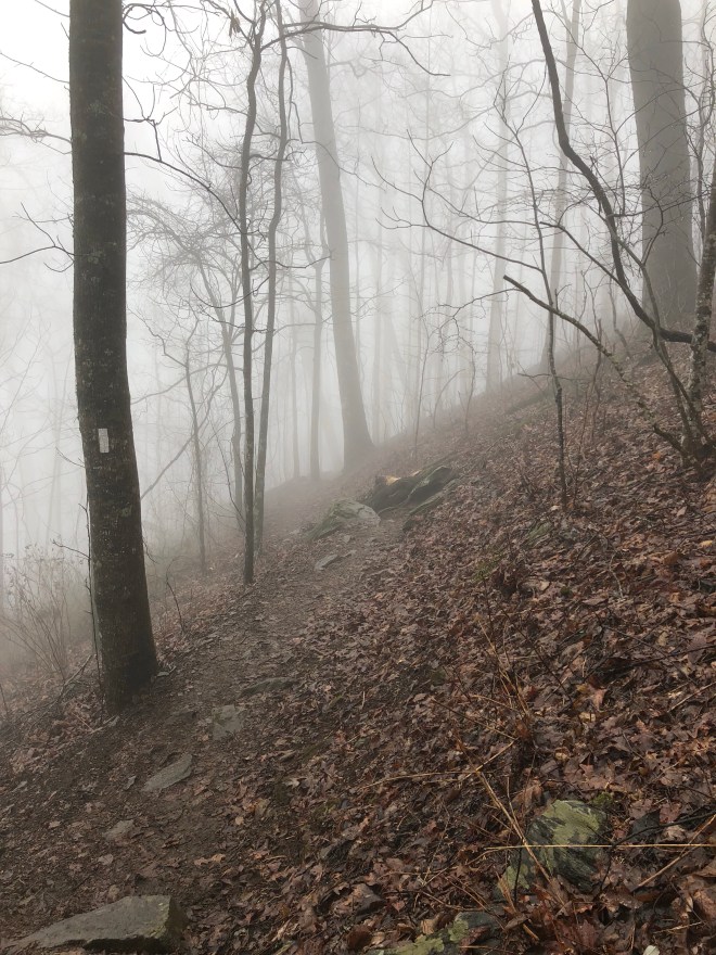
After that, the AT wanted to start playing jokes! In the next picture, you can clearly see two trails you can take, but which one it the right one?
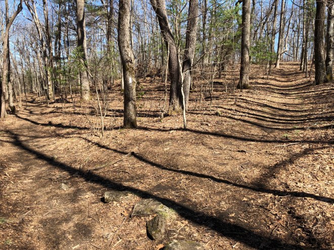
If you guessed the trail to the left, you would be correct! Always follow the white blazes! The trail to the right is a BLUE blazed trail.
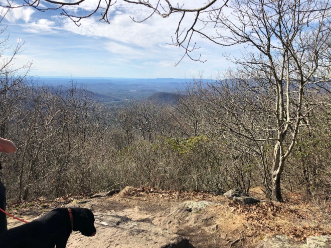
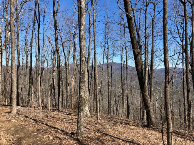
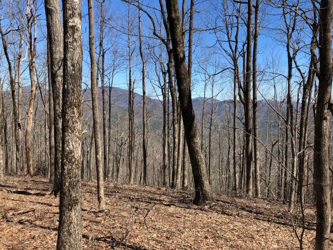
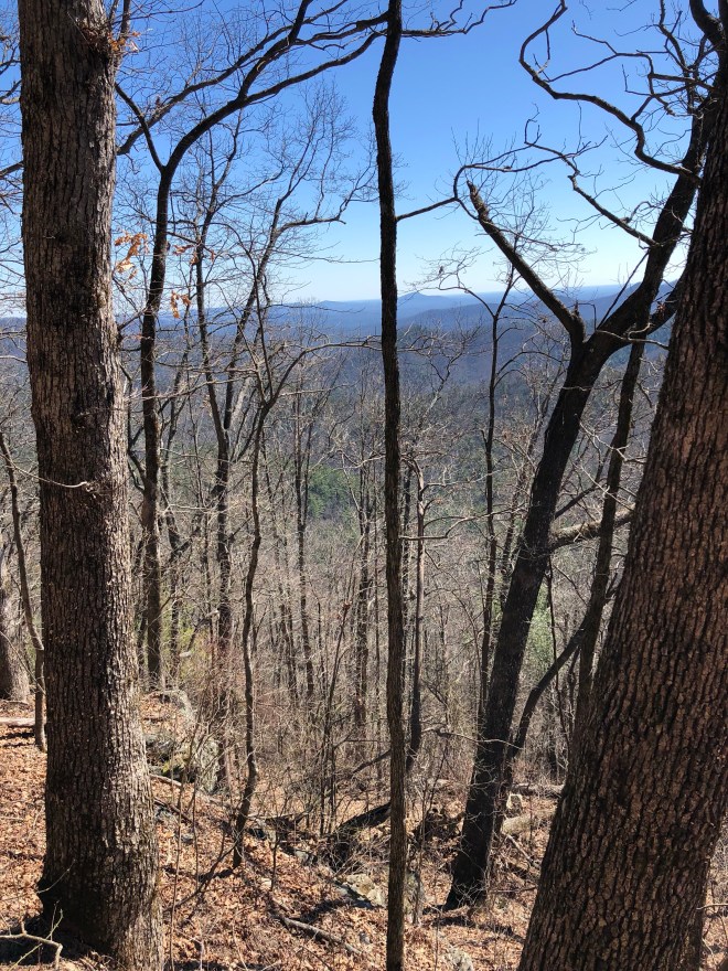
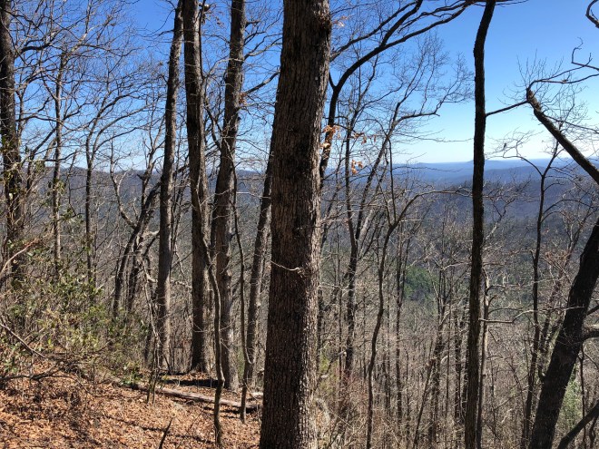
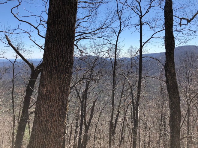
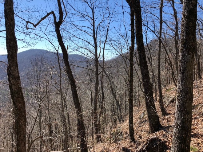
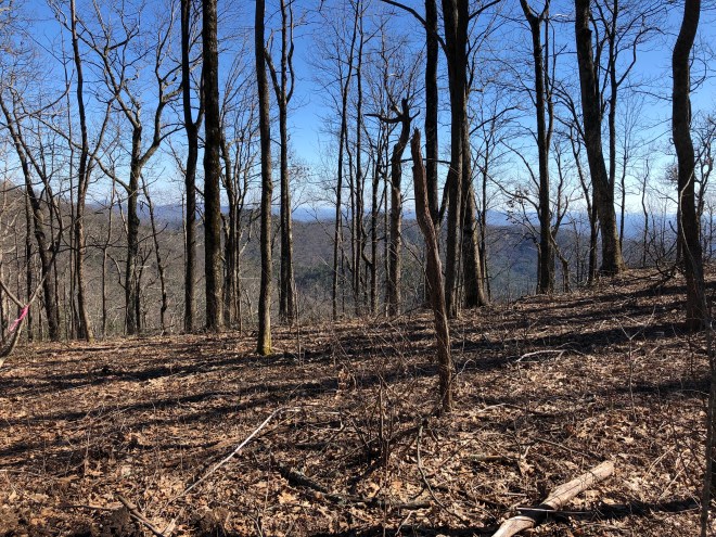
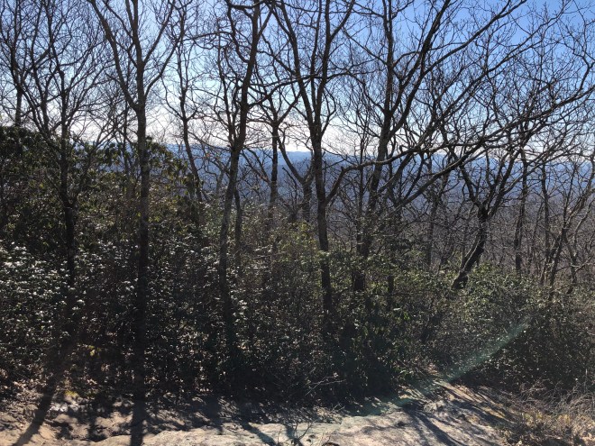
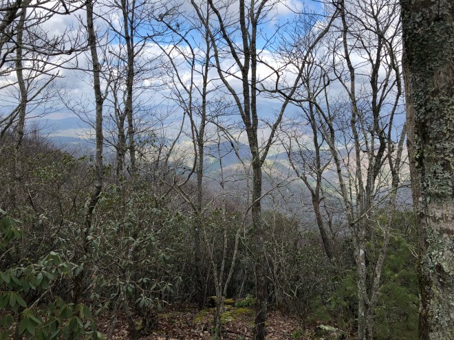
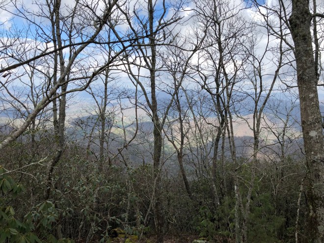
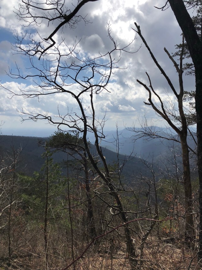
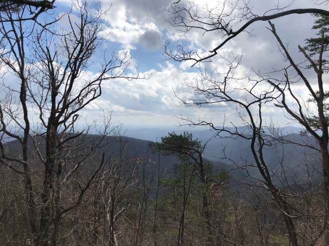
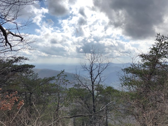
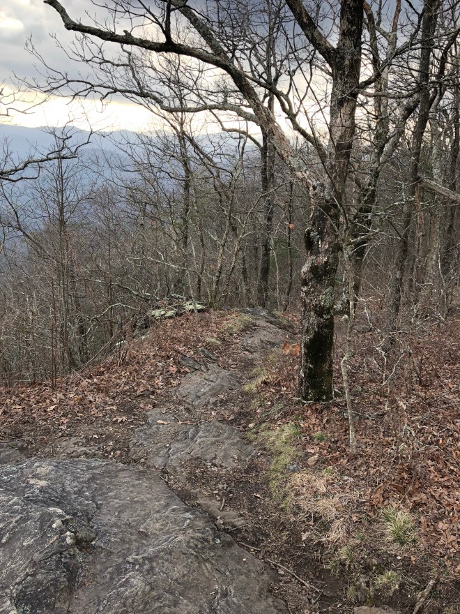
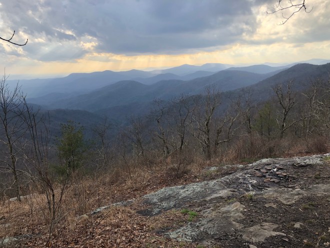
Even though I was walking in the woods, I still got some pretty wicked views!
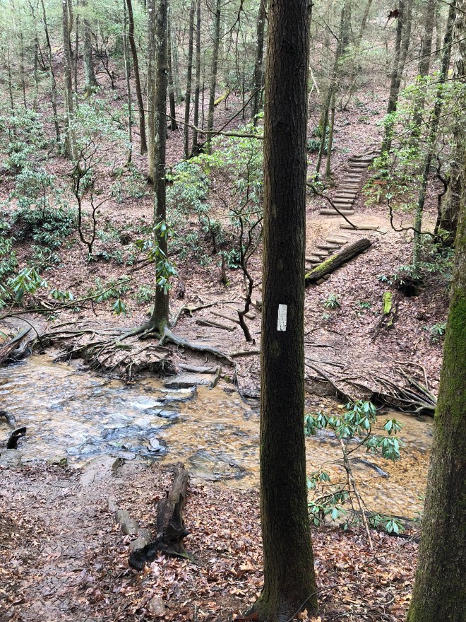
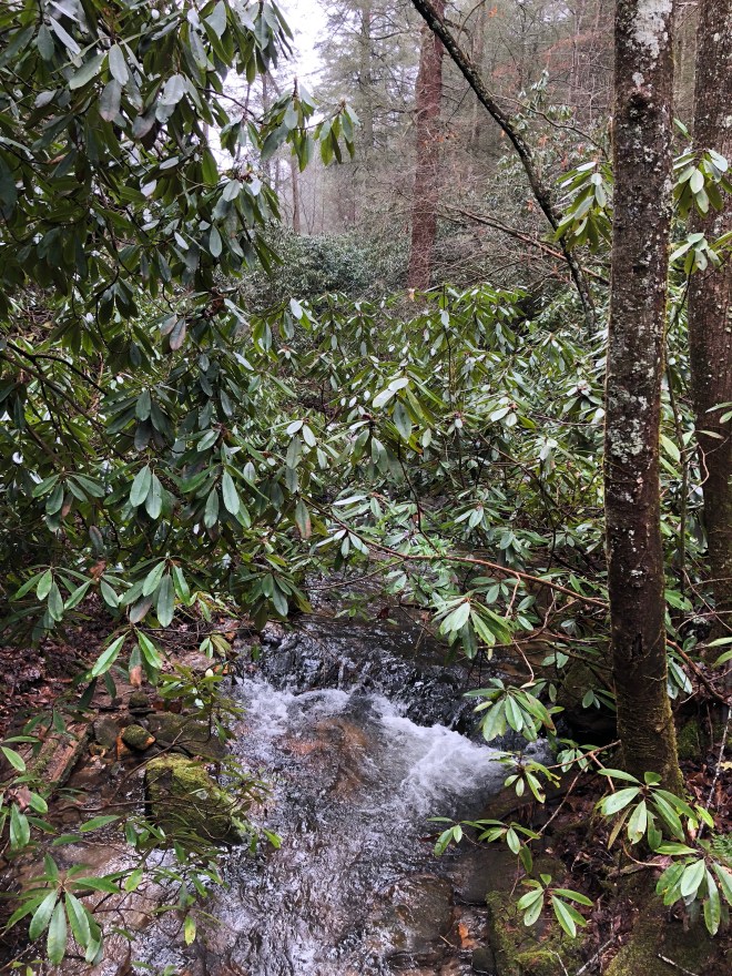
About 3.6 miles into my hike, I hit Lance Creek. It crosses the AT. Many people camp here when hiking up to Blood.

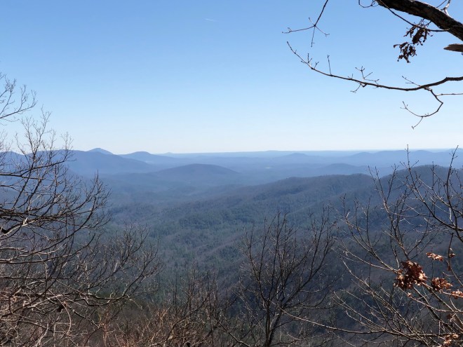
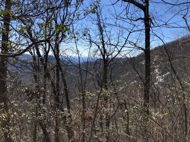
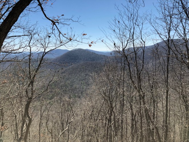
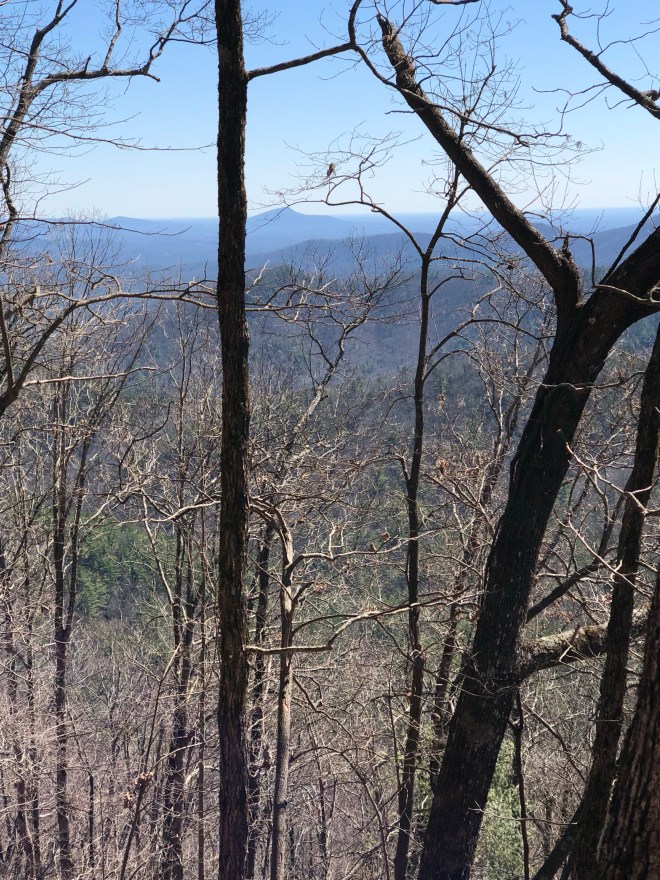
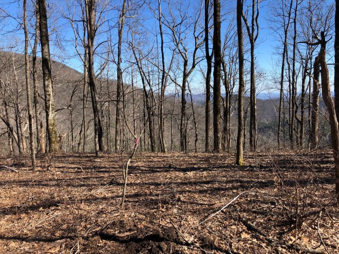
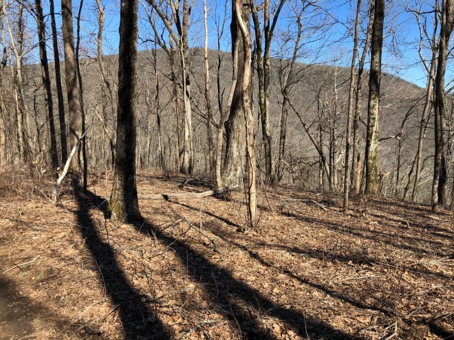
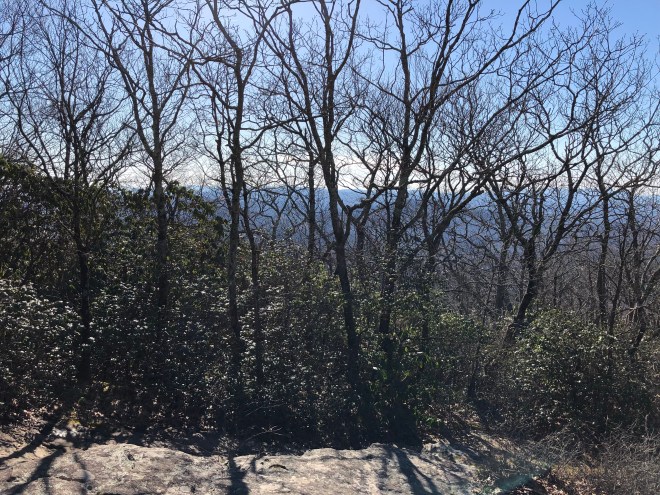
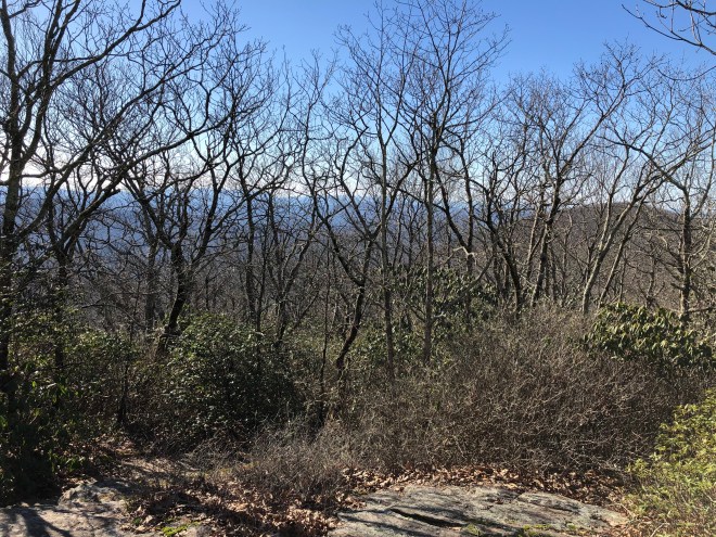
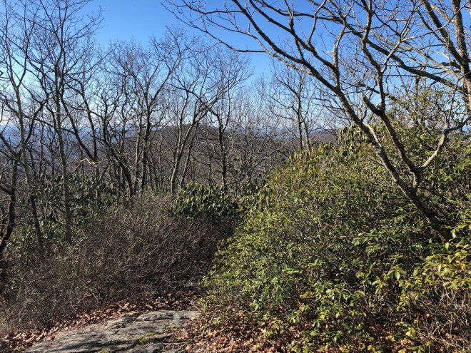
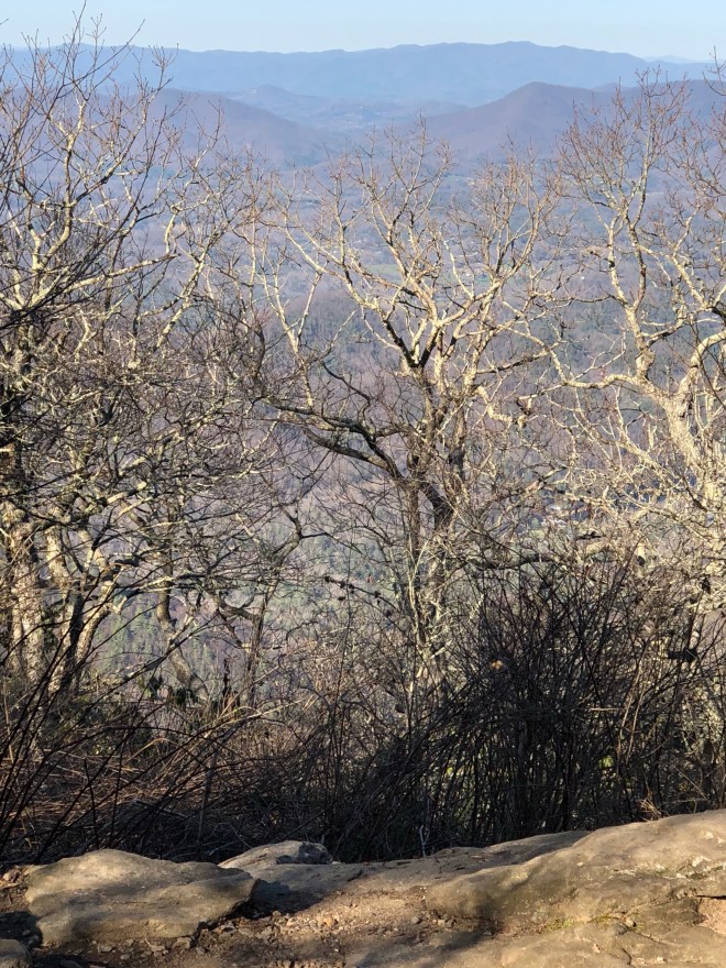
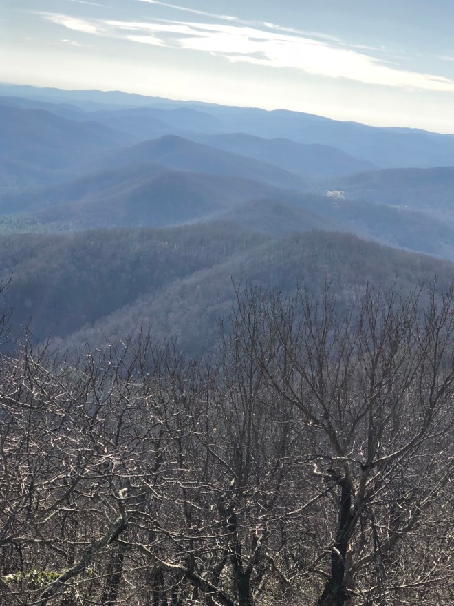
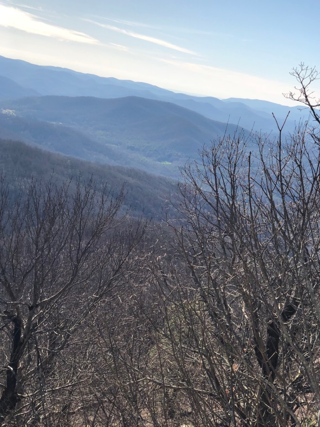
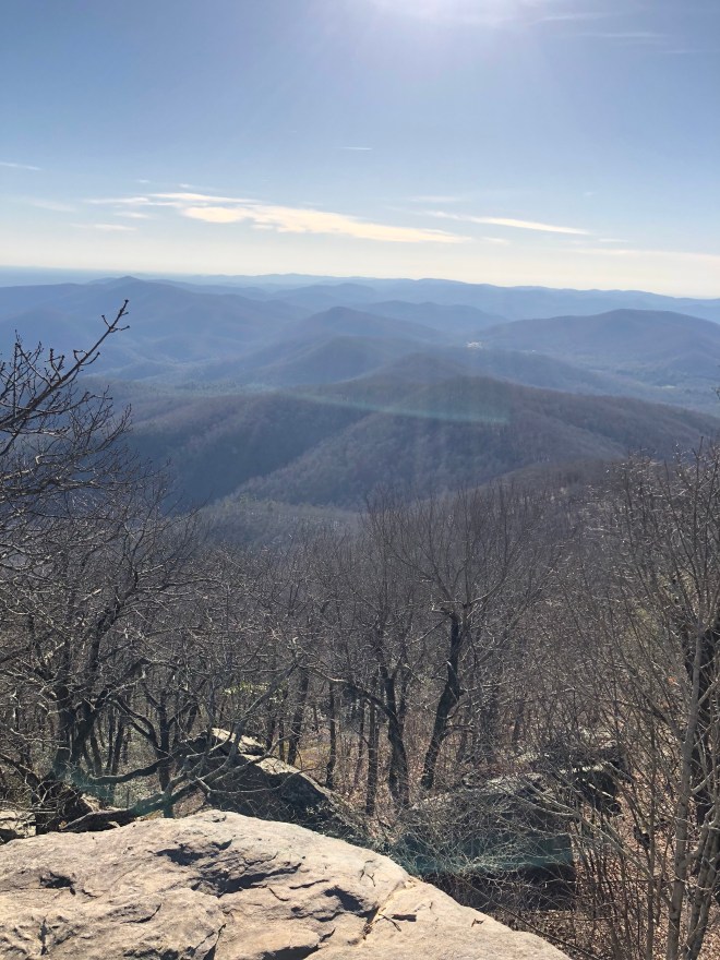
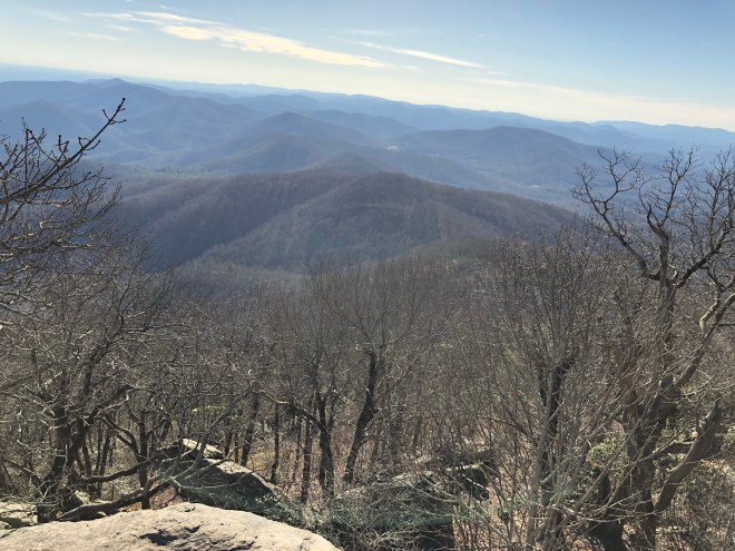
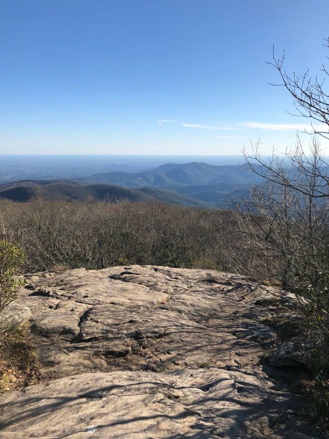
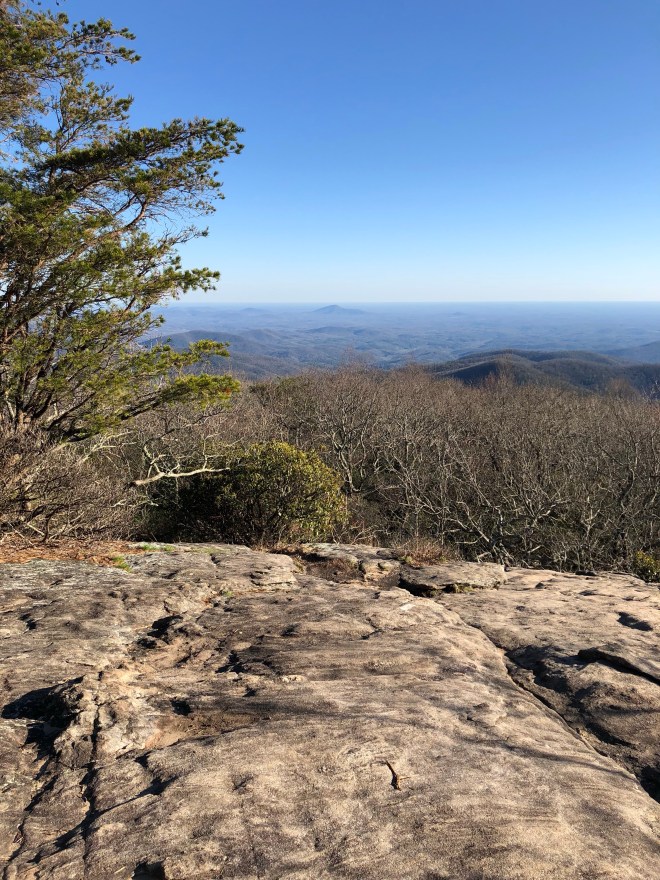
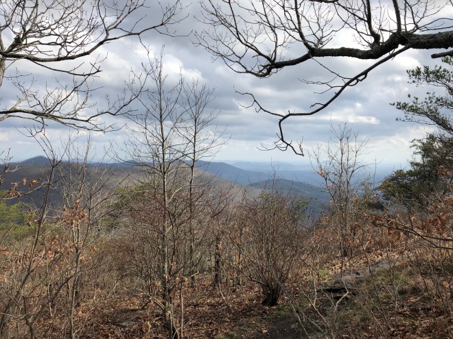
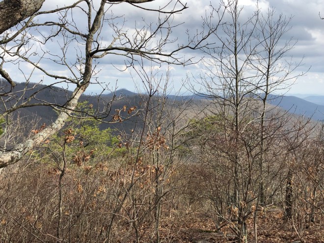
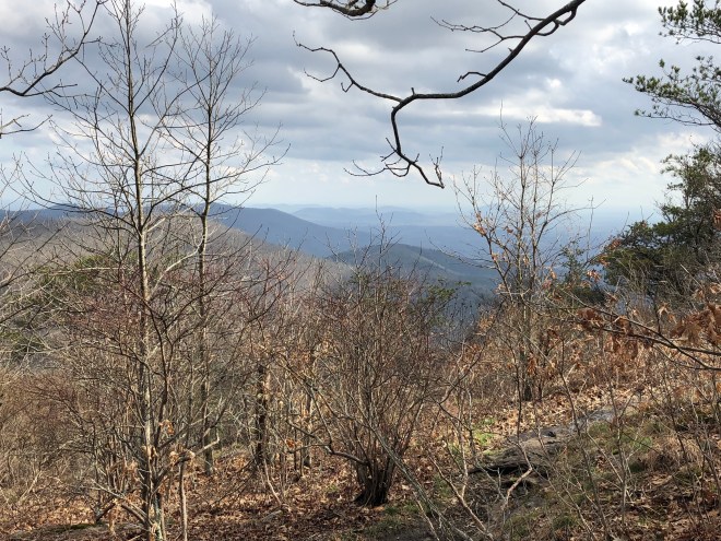
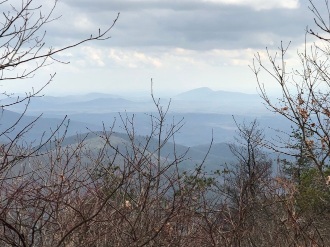
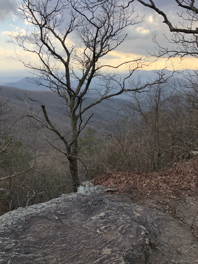
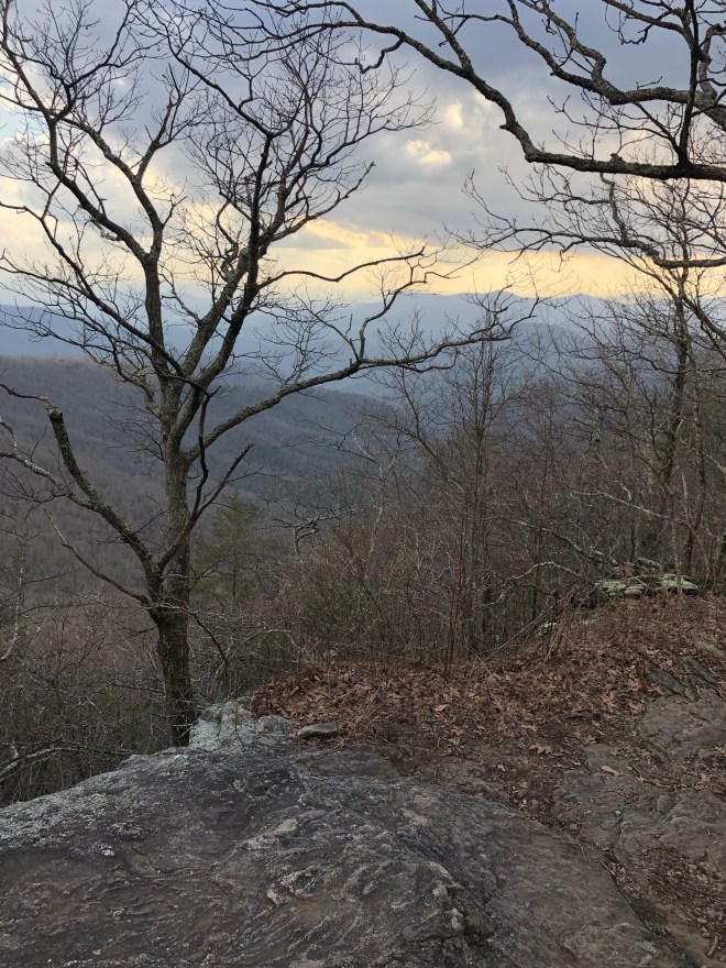
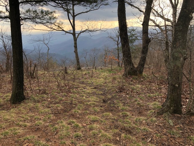
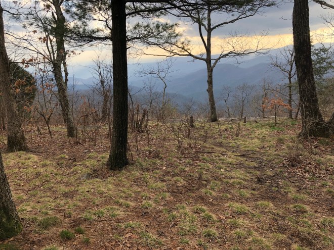
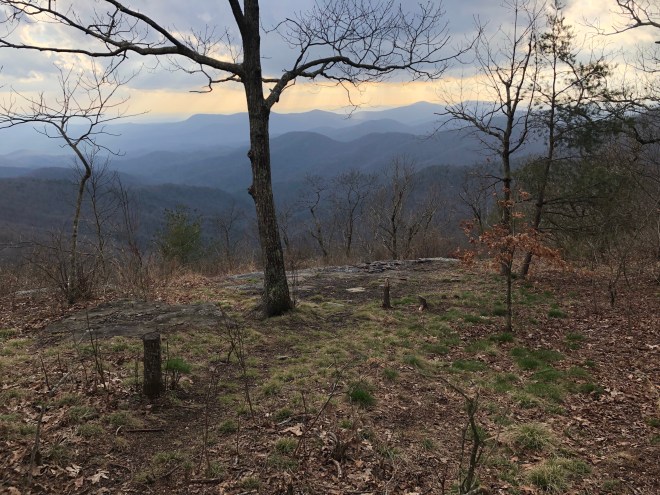
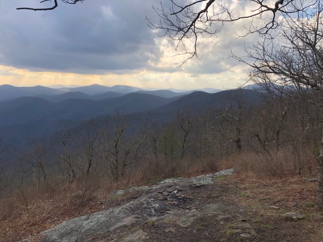
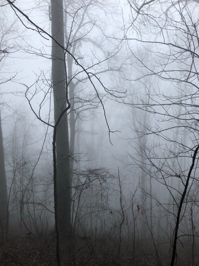
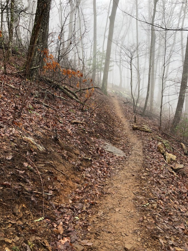
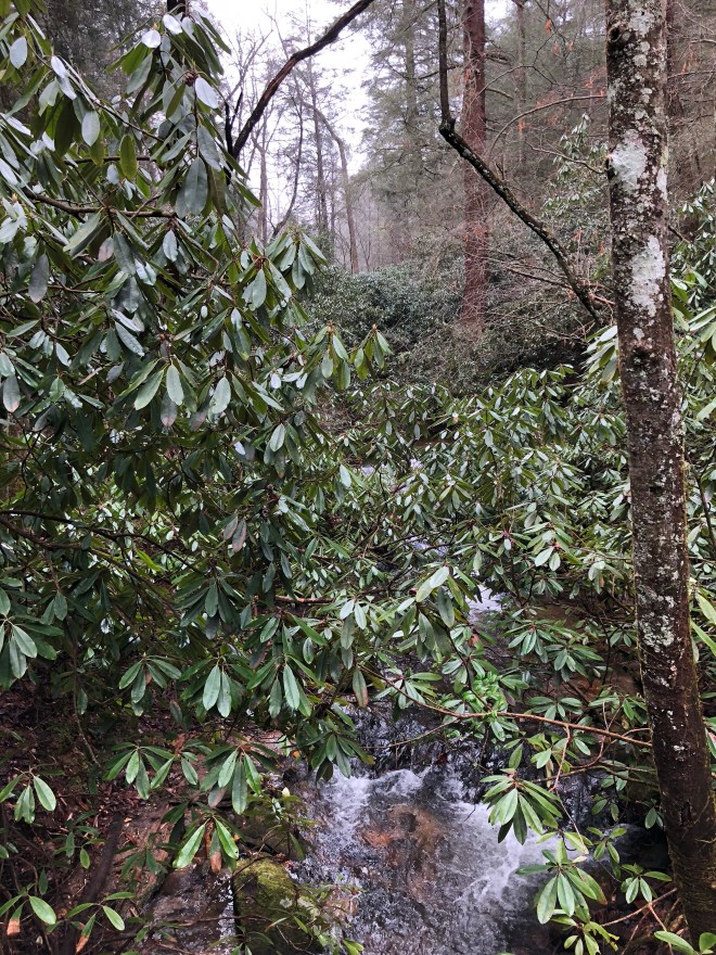
From here, I had about 4 more miles of walking in the woods until the next set of views, but I still got some amazing views along the way!
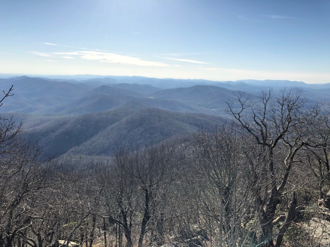
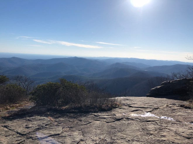
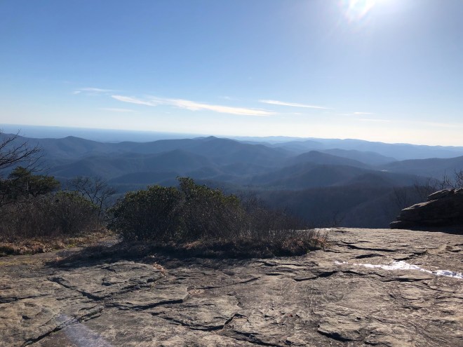
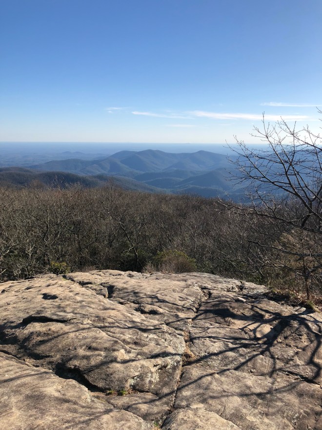
These photos are from Jarrard Gap, Gaddis Mountain, Turkey Stamp, and Bird Gap all leading up to the main attraction – Blood Mountain!


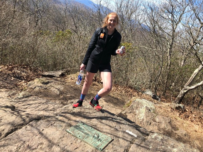
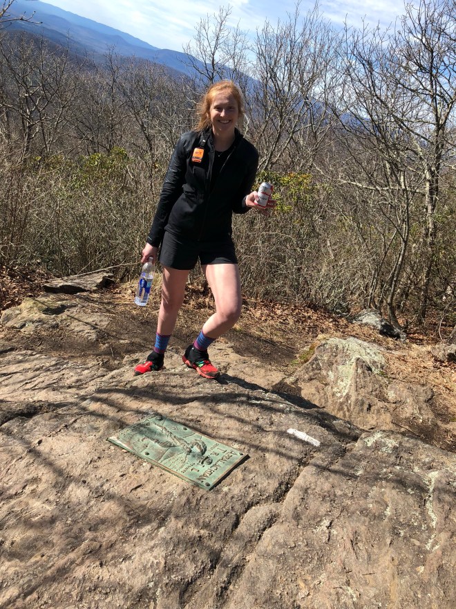
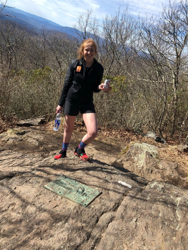
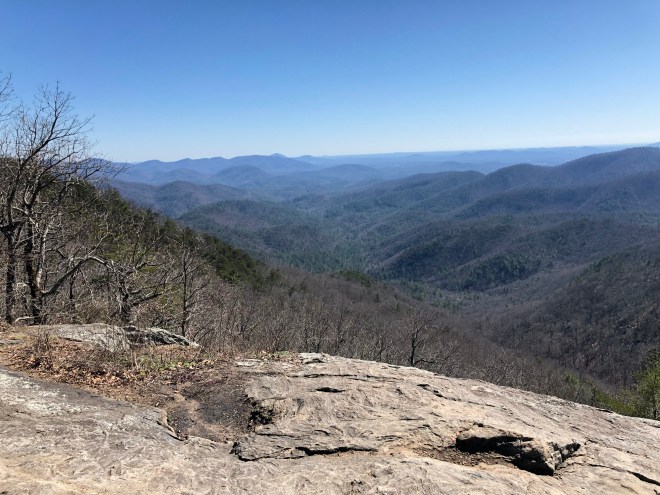
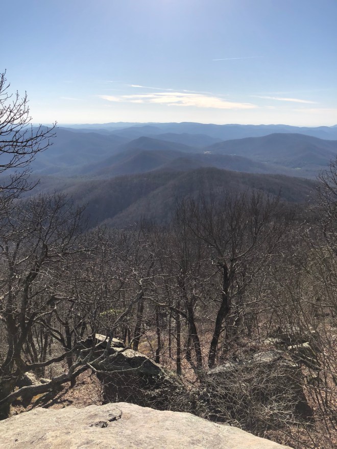
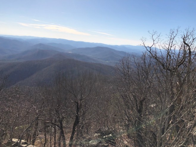
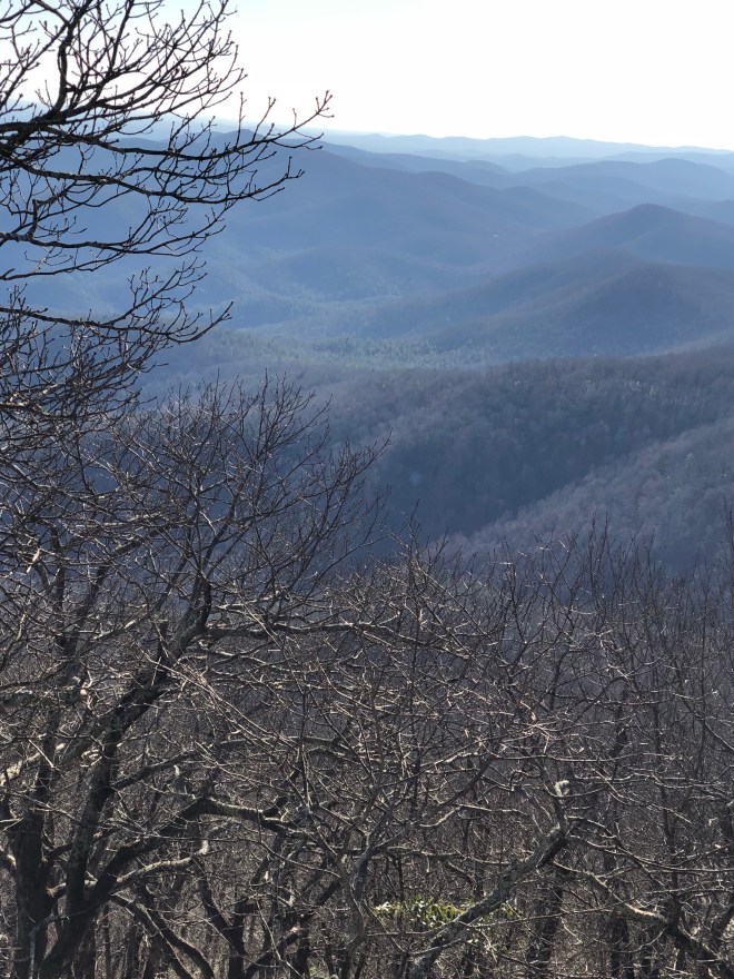
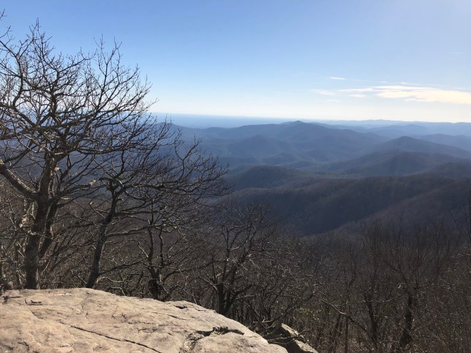
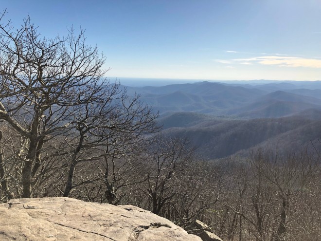
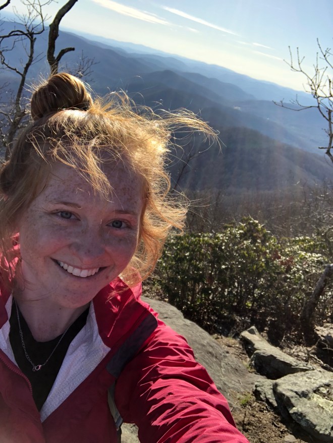
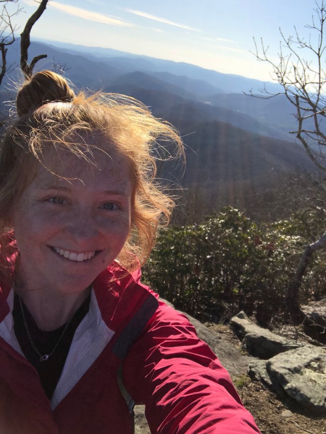
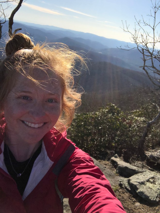
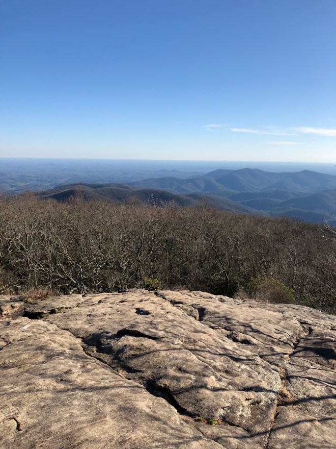
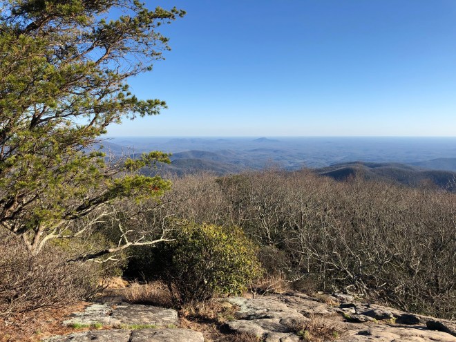
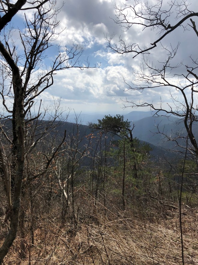
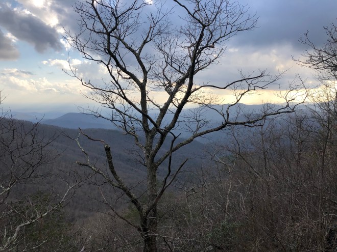
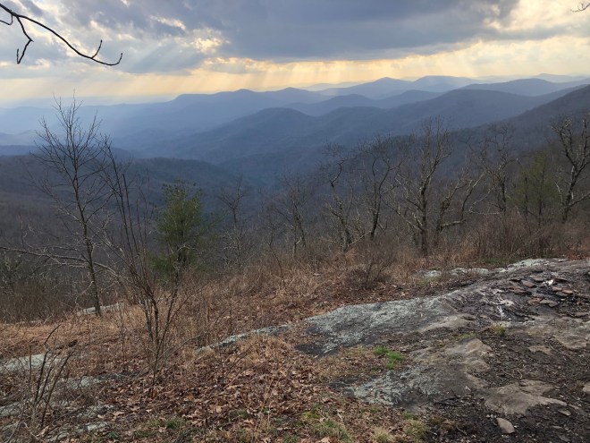
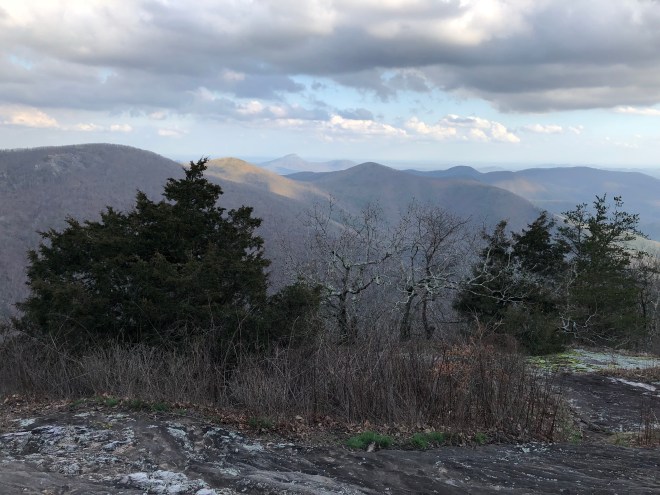
Okay, folks, this is what you’ve all been waiting for, and what I hiked ~10 miles today for… BLOOD MOUNTAIN
A few ascent photos for the dramatic finale!…
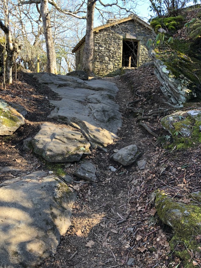
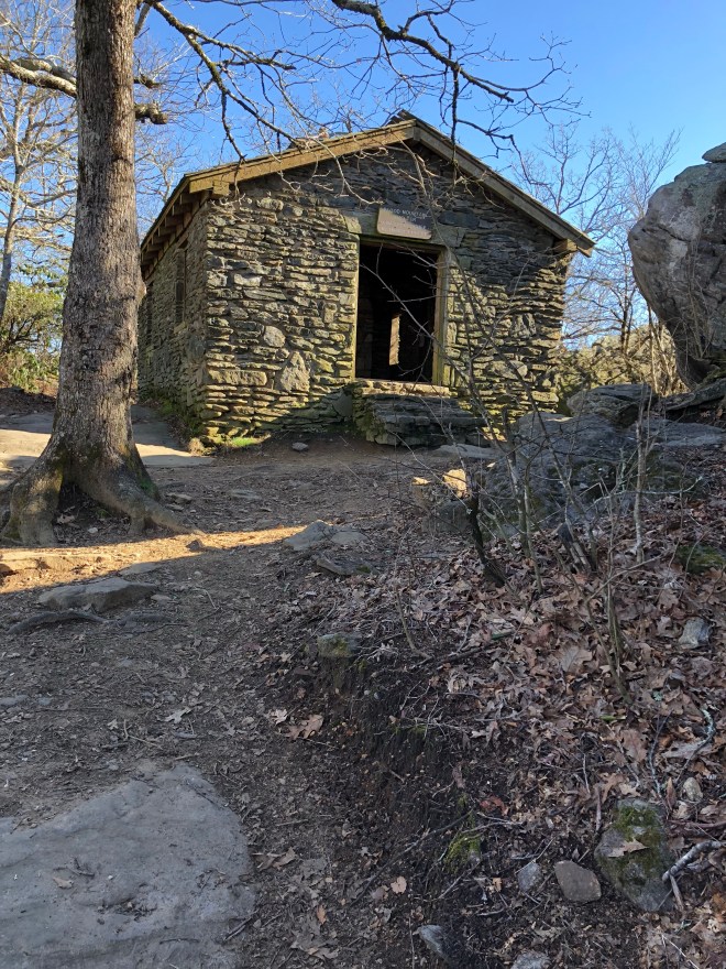
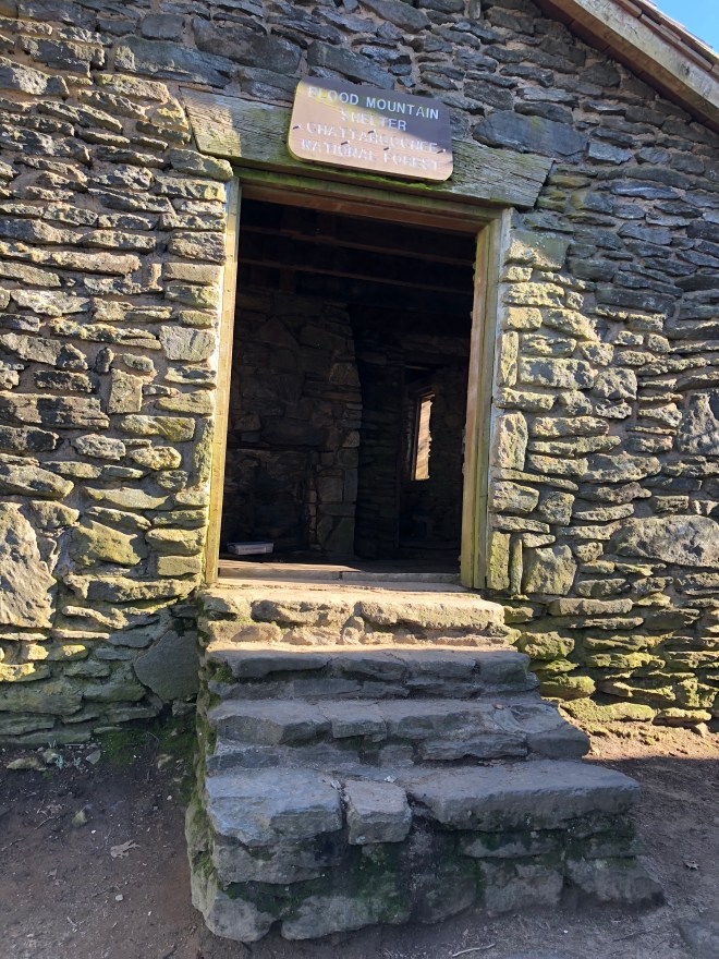
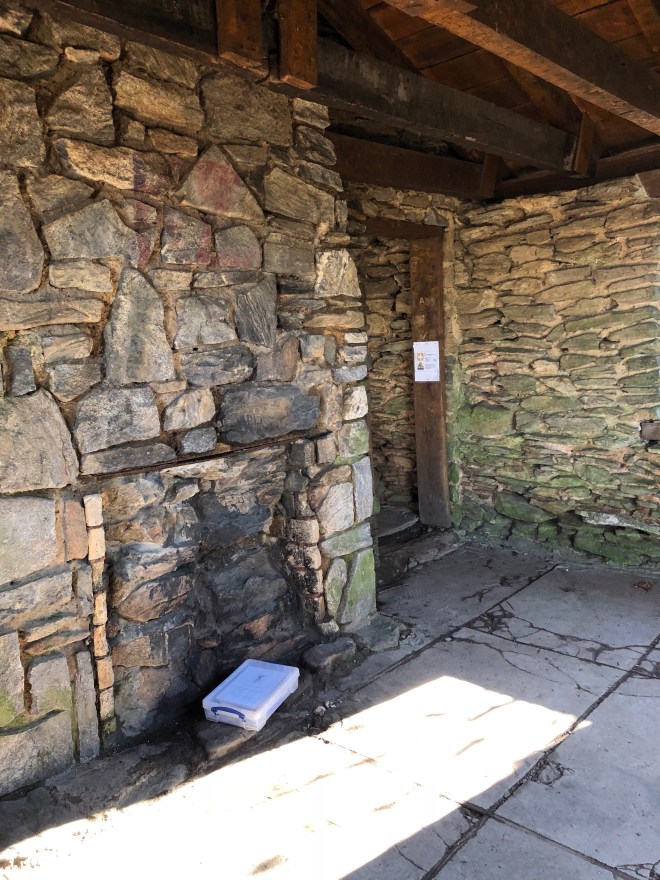
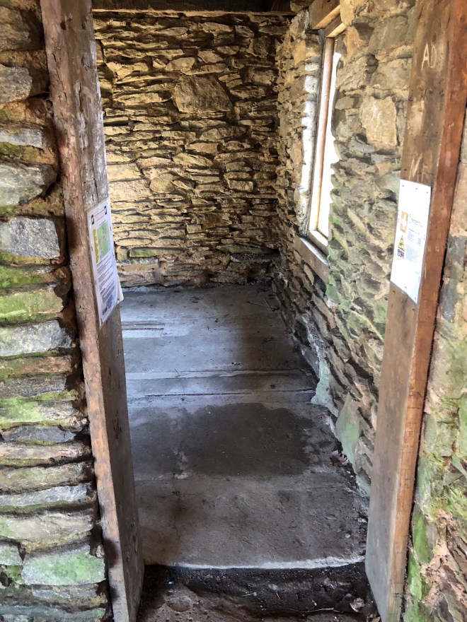
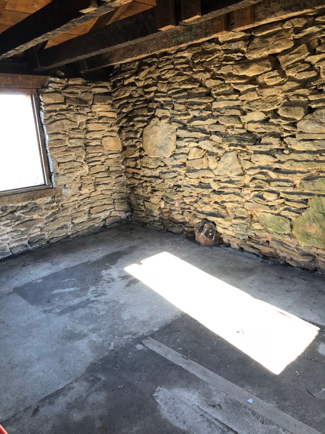
This is Blood Mtn Shelter, the oldest Shelter on the AT, built in 1934! Consisting of two rooms, it is made completely of stone, and was built with a fireplace. This shelter is also known for one of the best views from… the privy… hikers believe pooping is a spiritual experience on trail and such things deserve special attention. 😬😅🤷🏼♀️

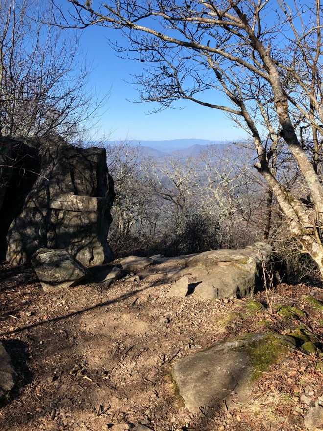

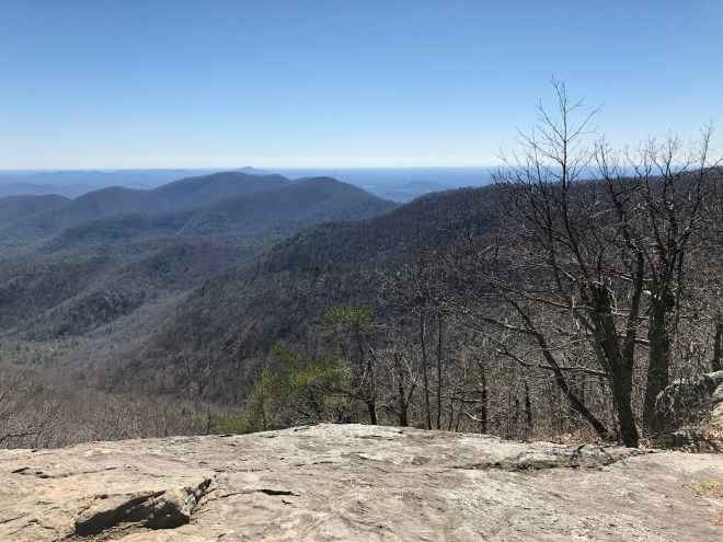
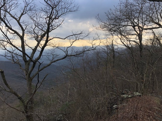
Now, for the views!


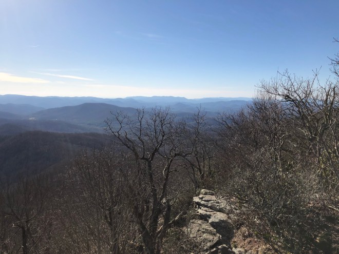
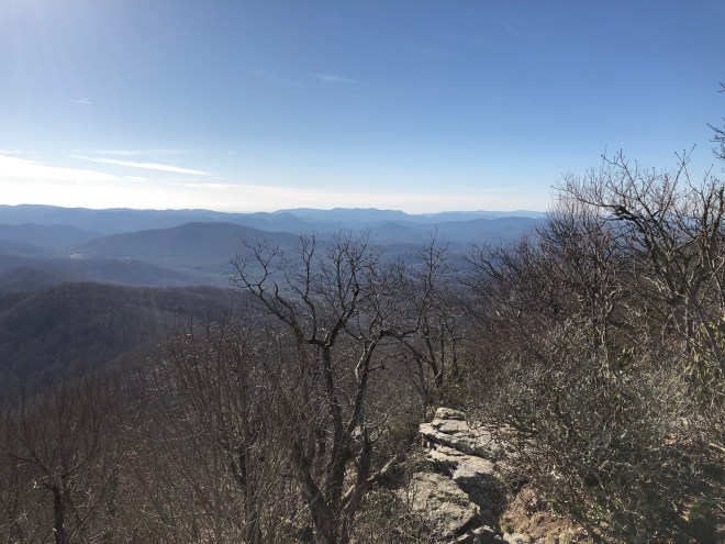


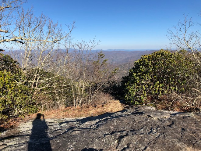

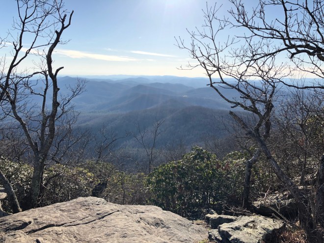


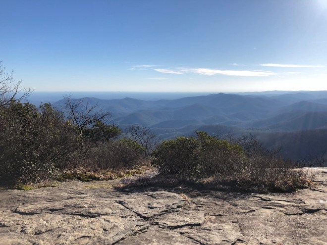


Okay, so as you can tell, it was really hard to stop taking photos! After summiting Blood, it was another 2.4 miles back down into Neel Gap where I got a ride from Chief Duffy (904) 562-0008 back to Hiawassee.
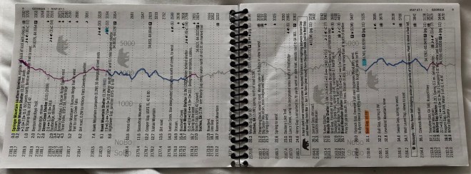
I have almost completed my first page in my AWOL book!
Okay, I’m afraid this might not publish since it has SO many pictures, so I’m going to wrap it up for now.
Thanks for joining me on Expedition Elizabeth!


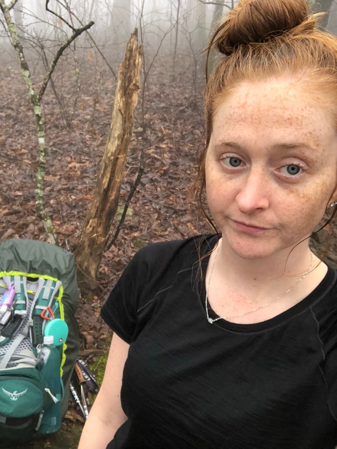


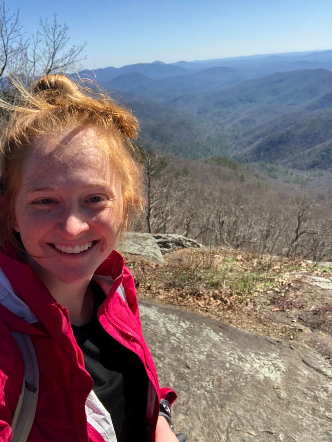
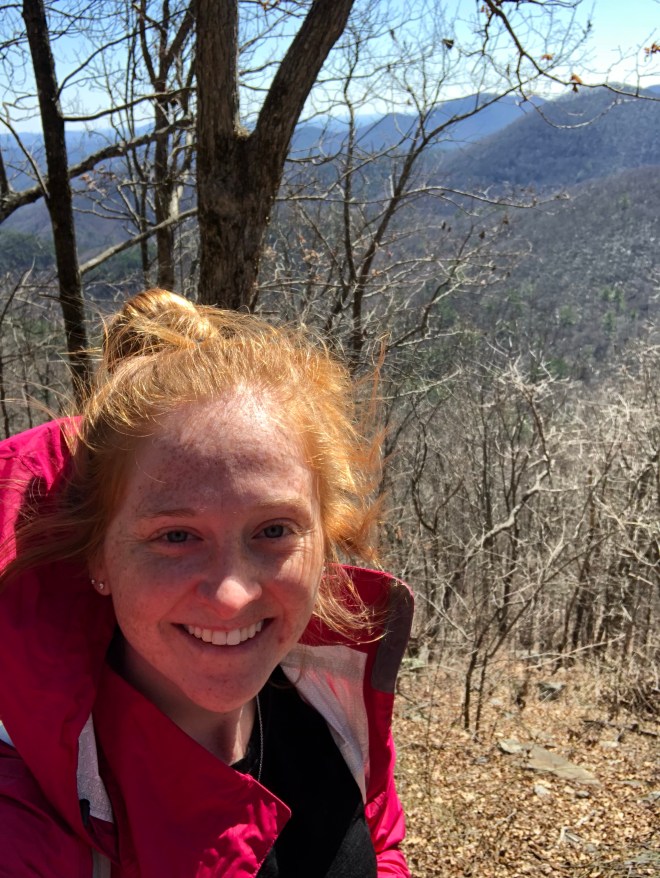
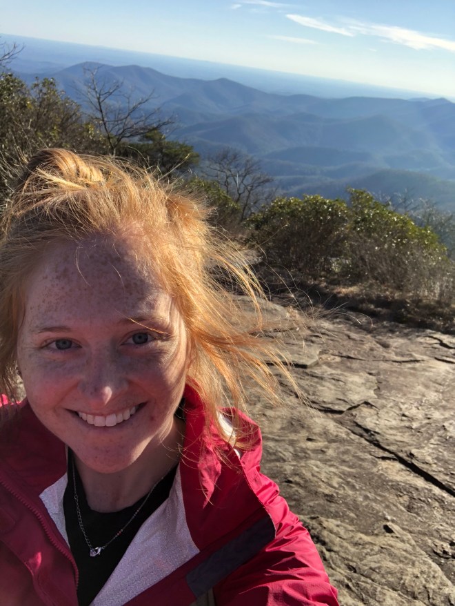
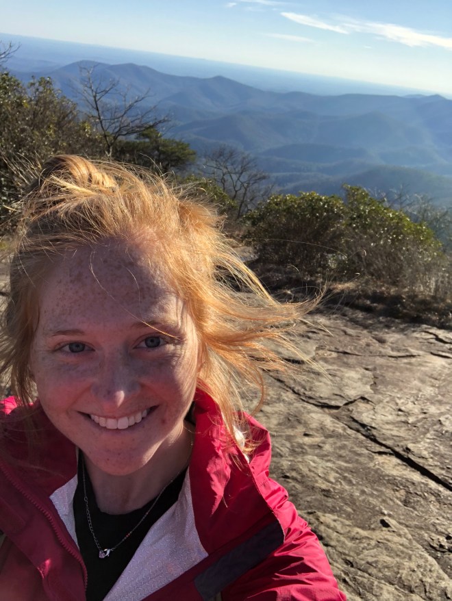
 Selfie showing uphill…
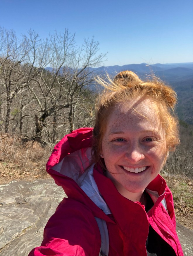
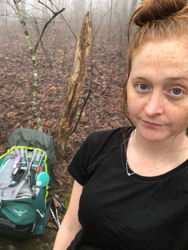
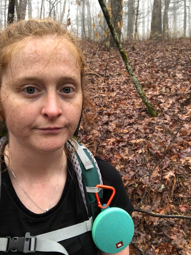 Okay, now this photo, I took 7 minutes later because it was a really good example to show you how I navigated the trail. I follow these signs called “white blazes”. They are 6 inch tall by 2 inch wide white painted rectangles on trees. You can see the trail and the blaze in the distance.
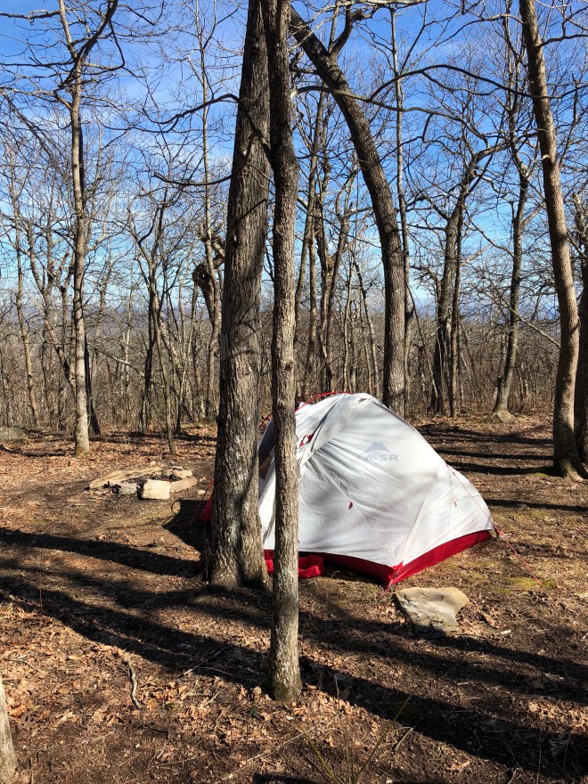
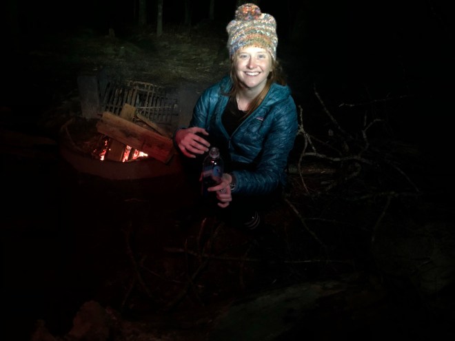
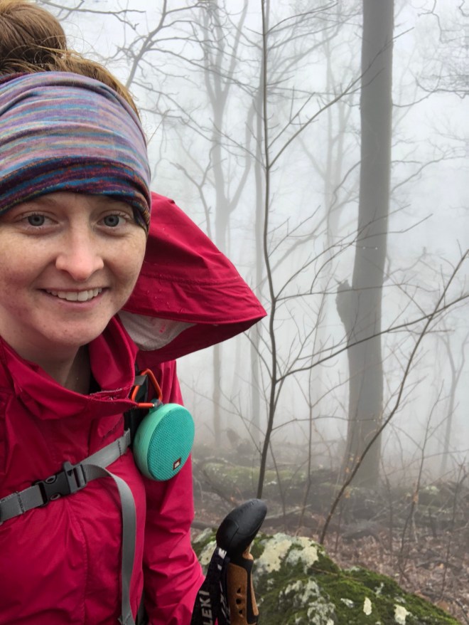
 I ended up rolling into camp this night just before the sunset, and the shelter was already “full”. So, I decided to tent this night to avoid making anyone move at “hiker midnight”. I had to setup my tent in the light rain, but it was already wet from the night before. In addition, I accidentally setup my rainfly wrong-side out, which didn’t help my already damp/wet situation. But it was what it was, so I took it like a champ!So very thankful for my HikerBFF who started boiling my water for dinner and helped my setup my tent since I got in late!At this point, everything was wet and refused to dry out. At this point, all you can do is embrace the suck. It rained again that night, but I did my best to wipe up all the water with my-already-damp/wet-camp-towel throughout the night. I was hoping to keep my down sleeping bag and down-lined sleeping pad from getting wet. I didn’t fail, it I didn’t quite succeed either.Tomorrow is a big day, so we shall leave it to its own!Thanks for joining me on Expedition Elizabeth!