On Day 2, **it got real. I went from Springer Mtn Shelter to Hawk Mtn Shelter – which was about 8.7 miles.
I was already really starting to lag behind my tramily (Trail Family), but figured it was just normal because I’m from Memphis and mountains are nonexistent. I started thinking I was just a slower hiker (which I expected).
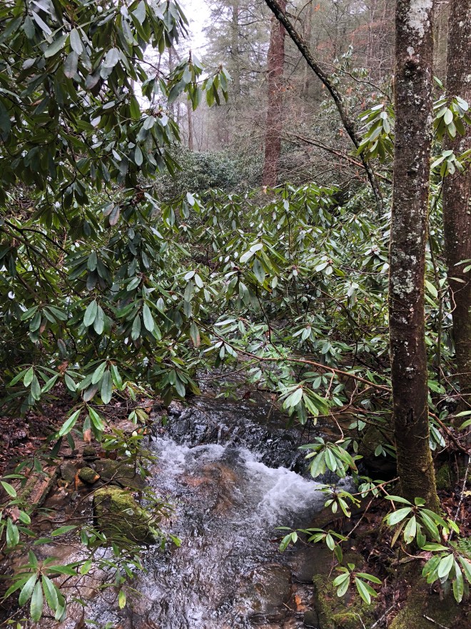
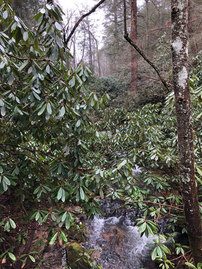
My first sights were from a footbridge of a stream. I was excited, but was a little down because of my hiking speed.
After the streams (going down in elevation), I finally was able to start going up in elevation! Yay! Except it was very foggy and misty, so there were no sights to be had. But, I did try to take some pictures to help you see what everything looks like for me.
This picture is looking downhill to my left.
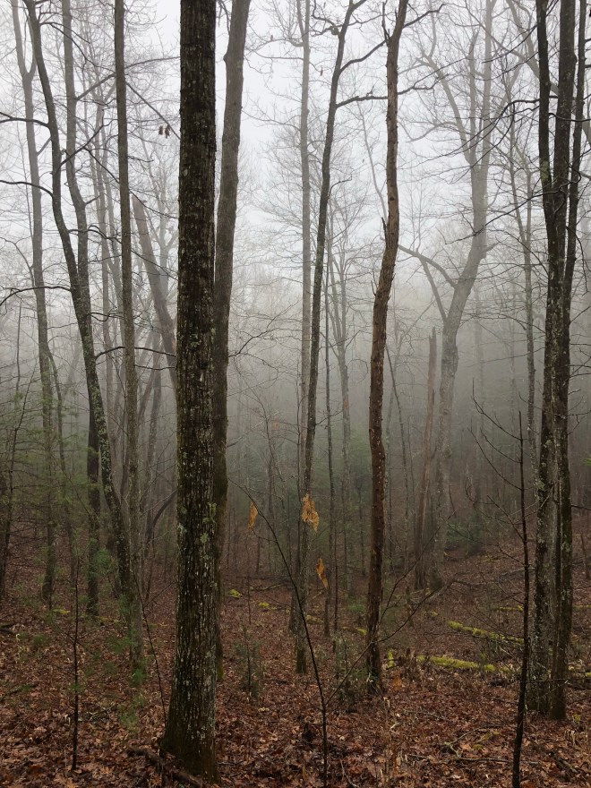
It’s hard to tell, but I’m actually very high up – in the clouds or mist (probably mist).
This photo is from the exact same location, only looking forward (aka NOBO).
So this is what I’m looking forward to as I’m hiking. Left would be downhill and right would be uphill (not sure which mountain, but a high one – trust me!).
This photo is directly to my right at eye level, like the past two. I’m hoping this will explain what I’m hiking up!
As you can tell, when I look exactly to my right, all you see is the side of the mountain I’m currently hiking up! It is so high, that I have to look up to even see the top, whereas I only had to look out to my left to tell I was in the trees.
This next photo is again in the same exact location, only looking backward (aka SOBO) – this would be what I just hiked.

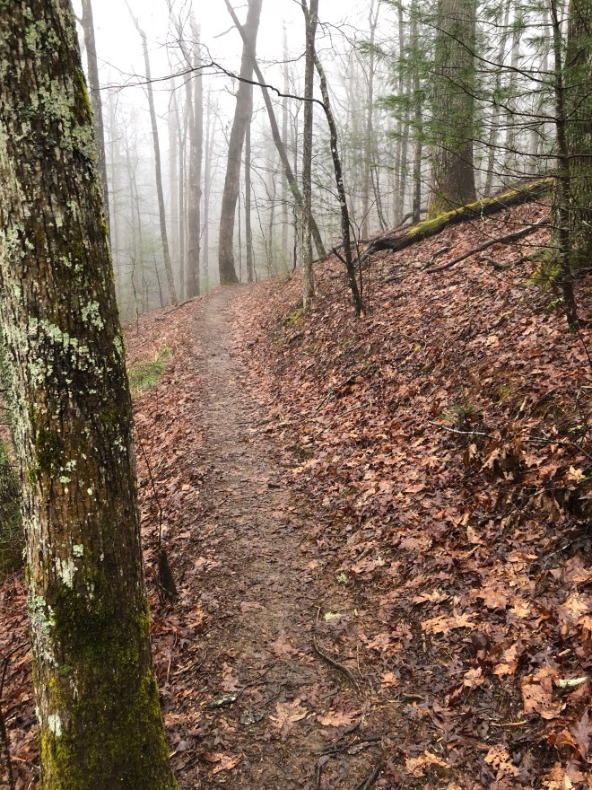
As you can see, it really is a “trail”! I’m not just mountaineering or navigating. The trail is very well marked and traveled.
Now, here come the selfies because I was tired of hiking and needed motivation. Haha!Selfies showing downhill… Selfie showing uphill…
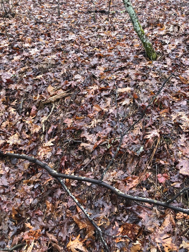
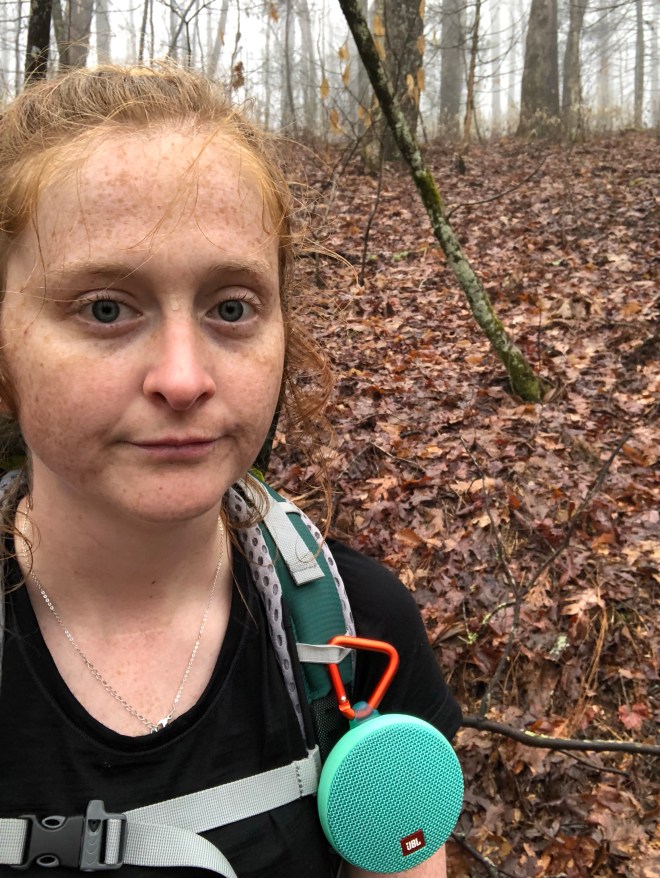 Okay, now this photo, I took 7 minutes later because it was a really good example to show you how I navigated the trail. I follow these signs called “white blazes”. They are 6 inch tall by 2 inch wide white painted rectangles on trees. You can see the trail and the blaze in the distance.
 I ended up rolling into camp this night just before the sunset, and the shelter was already “full”. So, I decided to tent this night to avoid making anyone move at “hiker midnight”. I had to setup my tent in the light rain, but it was already wet from the night before. In addition, I accidentally setup my rainfly wrong-side out, which didn’t help my already damp/wet situation. But it was what it was, so I took it like a champ!So very thankful for my HikerBFF who started boiling my water for dinner and helped my setup my tent since I got in late!At this point, everything was wet and refused to dry out. At this point, all you can do is embrace the suck. It rained again that night, but I did my best to wipe up all the water with my-already-damp/wet-camp-towel throughout the night. I was hoping to keep my down sleeping bag and down-lined sleeping pad from getting wet. I didn’t fail, it I didn’t quite succeed either.Tomorrow is a big day, so we shall leave it to its own!Thanks for joining me on Expedition Elizabeth!

Don’t worry too much about miles just yet. You’ll get your trail legs in shape sooner than you think, then you can pick up the pace. Love you!
LikeLiked by 1 person
Love you!!
LikeLike
Enjoying your adventure! Can’t wait for the next chapter. Hoping for drier days for you!
LikeLiked by 1 person
Thanks!! I’m hoping for that too! It means better pictures for you! 🙂
LikeLike